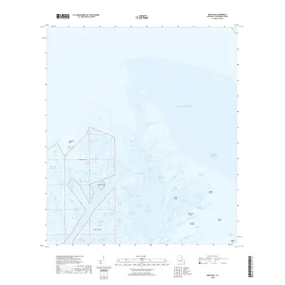
2018 Map of Main Pass
USGS Topo · Published 2018About this map
The Mississippi River delta landscape of Plaquemines Parish unfolds across this survey, dominated by the sprawling waterway of Main Pass as it reaches toward the Gulf of Mexico. This coastal environment is defined by a complex network of wetlands and shallow water bodies, where labels like Flatboat Pond, Cane Pond, and Blackbird Pond suggest the long-standing maritime and waterfowl culture of the region.
Find a feature on this map
67 named features on this map. Tap any name to fly to it.
Don’t see what you’re looking for? This feature index may not catch every label — zoom into the map to look around manually.
Map Details
Editions of this 2018 Main Pass Map
This is the sole edition of this map. No revisions or reprints were ever made.
Other maps of this area

1893 · East Delta
USGS Topo · 1:62,500

1893 · Forts
USGS Topo · 1:62,500

1893 · West Delta
USGS Topo · 1:62,500

1935 · Taylor Pass
USGS Topo · 1:31,680

1947 · Pass A Loutre West
USGS Topo · 1:31,680

1947 · Venice
USGS Topo · 1:31,680

1947 · Main Pass
USGS Topo · 1:31,680

1947 · Pass A Loutre East
USGS Topo · 1:31,680

1948 · Forts
USGS Topo · 1:62,500

1949 · Cubits Gap
USGS Topo · 1:31,680