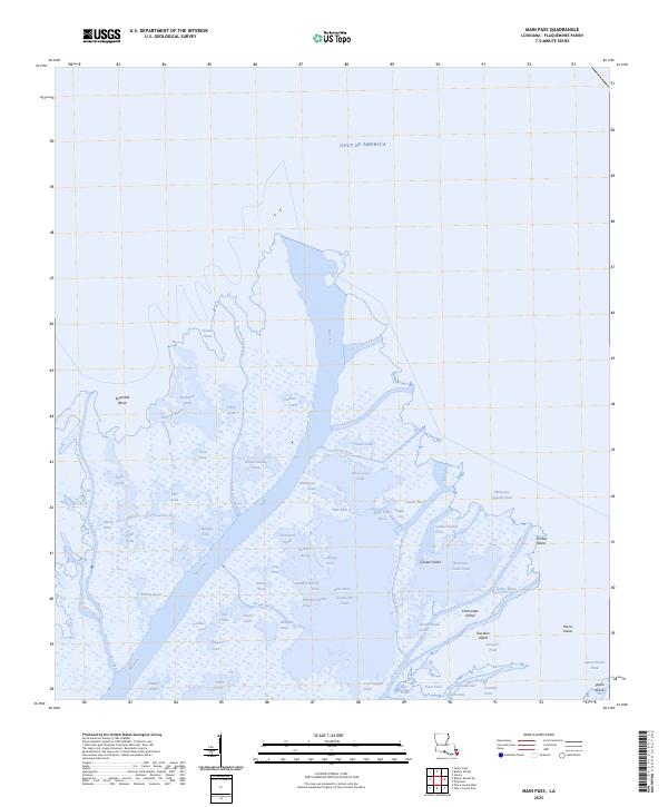
2025 Map of Main Pass
USGS Topo · Published 2025About this map
Main Pass bisects this water-dominated landscape in Plaquemines Parish, where the Mississippi River delta meets the Gulf of America. The map reveals an intricate network of navigable channels and marshy basins, including Octave Pass North, Cottam Pass, and Delta Pass. This environment is punctuated by small landmasses such as Timber Island, Contrariete Island, and Japan Island, which stand as landmarks amidst a maze of ponds and bayous. Numerous family-named or descriptive water bodies like Henderson Pond, Blue Goose Pond, and Snow Goose Bayou reflect the local geography of the lower delta. The drainage patterns here, from Grants Pass to Wiltz Pass, illustrate the ever-shifting hydrology of the Louisiana coastline, providing a detailed record of these fragile wetlands as they appeared in the early 21st century.
Find a feature on this map
69 named features on this map. Tap any name to fly to it.
Don’t see what you’re looking for? This feature index may not catch every label — zoom into the map to look around manually.
Map Details
Editions of this 2025 Main Pass Map
This is the sole edition of this map. No revisions or reprints were ever made.
Other maps of this area

1893 · East Delta
USGS Topo · 1:62,500

1893 · Forts
USGS Topo · 1:62,500

1893 · West Delta
USGS Topo · 1:62,500

1935 · Taylor Pass
USGS Topo · 1:31,680

1947 · Pass A Loutre West
USGS Topo · 1:31,680

1947 · Venice
USGS Topo · 1:31,680

1947 · Main Pass
USGS Topo · 1:31,680

1947 · Pass A Loutre East
USGS Topo · 1:31,680

1948 · Forts
USGS Topo · 1:62,500

1949 · Cubits Gap
USGS Topo · 1:31,680