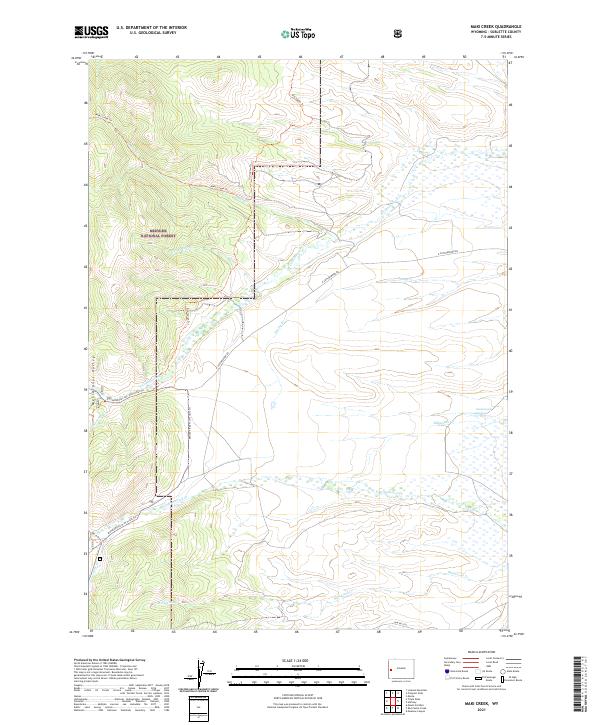
2021 Map of Maki Creek
USGS Topo · Published 2021About this map
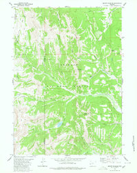
Bridger National Forest defines the western landscape of this Wyoming quadrangle, where the Meridional Valley meets high-altitude drainage systems. Historically significant travel corridors are well-documented, specifically the McDougal Gap Old Indian Trl and the primary Old Indian Trl, which offer a look at early mountain passage routes. These trails intersect with modern access like N Cottonwood Rd and forest-specific routes such as the Middle Piney N (H Trall) Trl.
Find a feature on this map
24 named features on this map. Tap any name to fly to it.
Don’t see what you’re looking for? This feature index may not catch every label — zoom into the map to look around manually.
Map Details
Editions of this 2021 Maki Creek Map
This is the sole edition of this map. No revisions or reprints were ever made.
Other maps of this area

1921 · Afton
USGS Topo · 1:125,000

1939 · Big Piney
USGS Topo · 1:125,000

1942 · Big Piney
USGS Topo · 1:125,000

1955 · Preston
USGS Topo · 1:250,000

1958 · Preston
USGS Topo · 1:250,000

1962 · Preston
USGS Topo · 1:250,000
1980 · Red Castle Creek
USGS Topo · 1:24,000
1980 · Merna
USGS Topo · 1:24,000
1980 · Triple Peak
USGS Topo · 1:24,000
1980 · Mount Schidler
USGS Topo · 1:24,000