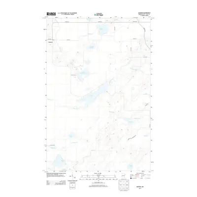
2013 Map of Makinen
USGS Topo · Published 2013About this map
Makinen and its local Po serve as the primary settlement hub in this 2013 Saint Louis County landscape, situated at the intersection of Wilson Rd and Mud Hen Rd. The terrain is defined by an intricate network of glacial lakes and wetlands, connected by the Paleface River and various branches of Water Hen Cr. This area of northern Minnesota retains a heavily forested and managed character, as evidenced by the Washusk Forest Management Rd and the prominent Vermilion Trl cutting through the northeastern sector. Genealogists and local historians can trace family properties along named rural routes like Williams Rd and Taggart Rd, while water features such as Wabuse Lake, Morcom Lake, and Mud Hen Lake provide fixed points of reference for land use patterns in the Mesabi Iron Range region.
Find a feature on this map
32 named features on this map. Tap any name to fly to it.
Don’t see what you’re looking for? This feature index may not catch every label — zoom into the map to look around manually.
Map Details
Editions of this 2013 Makinen Map
This is the sole edition of this map. No revisions or reprints were ever made.
Other maps of this area

1951 · Palo
USGS Topo · 1:24,000

1951 · Gilbert
USGS Topo · 1:24,000

1951 · Central Lakes
USGS Topo · 1:24,000

1951 · Makinen
USGS Topo · 1:24,000

1954 · Hibbing
USGS Topo · 1:250,000

1956 · Cotton
USGS Topo · 1:24,000

1956 · Whiteface
USGS Topo · 1:24,000

1957 · Hibbing
USGS Topo · 1:250,000

1957 · Markham
USGS Topo · 1:62,500

1957 · Comstock Lake
USGS Topo · 1:24,000