
1957 Map of Comstock Lake
USGS Topo · Published 1958About this map
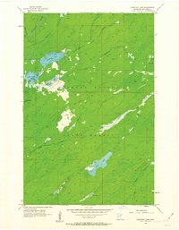
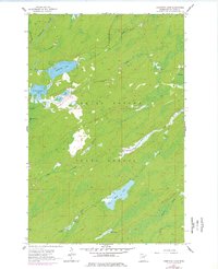
The Cloquet Valley State Forest dominates this mid-century landscape in St. Louis County, where a dense network of glacial lakes and northern waterways defines the terrain. Central to the sheet is Comstock Lake and its neighbor Lower Comstock Lake, which feed into Gimlet Cr and the larger Whiteface River corridor. The map captures a wilderness area primarily used for timber and conservation, marked by an intricate hydrology including the phonetically distinct Us-Kab-Wan-Ka River and several isolated basins like Rush Lake and Berle Lake.
Find a feature on this map
18 named features on this map. Tap any name to fly to it.
Don’t see what you’re looking for? This feature index may not catch every label — zoom into the map to look around manually.
Map Details
Editions of this 1957 Comstock Lake Map
3 editions found
Other maps of this area

1951 · Makinen
USGS Topo · 1:24,000

1953 · Shaw
USGS Topo · 1:24,000

1953 · Boulder Lake Reservoir
USGS Topo · 1:24,000

1954 · Thompson Lake
USGS Topo · 1:24,000

1954 · Hibbing
USGS Topo · 1:250,000

1956 · Whiteface
USGS Topo · 1:24,000

1957 · Hibbing
USGS Topo · 1:250,000

1957 · Markham
USGS Topo · 1:62,500
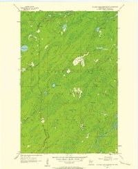
1957 · Boulder Lake Reservoir NE
USGS Topo · 1:24,000

1958 · Hibbing
USGS Topo · 1:250,000