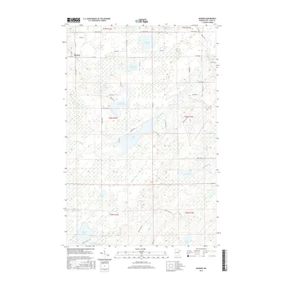
2016 Map of Makinen
USGS Topo · Published 2016About this map
Makinen sits at the intersection of Co Hwy 16 and Co Rd 632 in this northern Minnesota landscape defined by an intricate network of wetlands and namesake water bodies. The settlement serves as a focal point for a region characterized by its glacial hydrology, where the Paleface River meanders through the southern sections and Water Hen Creek drains toward Section Fourteen Lake. The dominance of surface water is evident in the numerous named basins like Mud Hen Lake, Morcom Lake, and Wabuse Lake, many of which are surrounded by extensive marshlands. Transportation follows both modern county roads and older routes, most notably the Vermilion Trl cutting across the northeastern corner. This layout suggests a geography where human activity is closely tied to the natural drainage patterns and the management of timber and water resources in the Saint Louis County interior.
Find a feature on this map
53 named features on this map. Tap any name to fly to it.
Don’t see what you’re looking for? This feature index may not catch every label — zoom into the map to look around manually.
Map Details
Editions of this 2016 Makinen Map
This is the sole edition of this map. No revisions or reprints were ever made.
Other maps of this area

1951 · Palo
USGS Topo · 1:24,000

1951 · Gilbert
USGS Topo · 1:24,000

1951 · Central Lakes
USGS Topo · 1:24,000

1951 · Makinen
USGS Topo · 1:24,000

1954 · Hibbing
USGS Topo · 1:250,000

1956 · Cotton
USGS Topo · 1:24,000

1956 · Whiteface
USGS Topo · 1:24,000

1957 · Hibbing
USGS Topo · 1:250,000

1957 · Markham
USGS Topo · 1:62,500

1957 · Comstock Lake
USGS Topo · 1:24,000