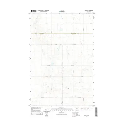
2014 Map of Makoti SW
USGS Topo · Published 2014About this map
Mountrail Co and McLean Co meet along a straight east-west boundary line in this section of the North Dakota prairie. The landscape is defined by the winding course of Deepwater Cr and its tributary, the E Fork Deepwater Cr, which carve through the terrain as they flow generally southward. A sparse grid of rural section roads, including 31st St NW and 65th Ave NW, provides access to the isolated homesteads and agricultural tracts that dominate the area. Near the center of the sheet, Lake Susie sits as a localized basin, while further south, the Roseglen Cem provides a quiet landmark for local genealogical research, marking a point of community continuity in this wide-open drainage of the Missouri River plateau.
Find a feature on this map
18 named features on this map. Tap any name to fly to it.
Don’t see what you’re looking for? This feature index may not catch every label — zoom into the map to look around manually.
Map Details
Editions of this 2014 Makoti SW Map
This is the sole edition of this map. No revisions or reprints were ever made.
Other maps of this area

1953 · Watford City
USGS Topo · 1:250,000

1954 · McClusky
USGS Topo · 1:250,000

1956 · Makoti SW
USGS Topo · 1:24,000

1956 · Blackwater Lake NW
USGS Topo · 1:24,000

1956 · Blackwater Lake
USGS Topo · 1:24,000

1956 · Roseglen
USGS Topo · 1:24,000

1957 · Watford City
USGS Topo · 1:250,000

1958 · McClusky
USGS Topo · 1:250,000

1967 · Watford City
USGS Topo · 1:250,000

1967 · Raub
USGS Topo · 1:24,000