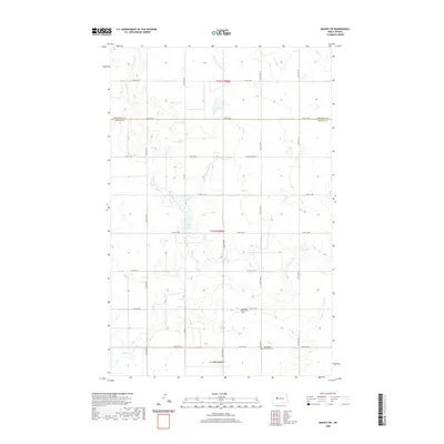
2020 Map of Makoti SW
USGS Topo · Published 2020About this map
The rolling plains of McLean and Mountrail Counties are defined by the winding course of Deepwater Cr and its tributaries. This survey captures a section of the North Dakota prairie where the rigid grid of the Public Land Survey System, including Co Rd 3 and McLean Co Hwy 2, intersects with natural features like Lake Susie. The landscape is largely agricultural, marked by section lines that guide the placement of local roads and farmsteads. Institutional history is anchored by the Roseglen Baptist Cem and Bethlehem Lutheran Cem, which serve as permanent markers of the community's early settlement. The presence of E Fork Deepwater Cr indicates the drainage patterns vital to this high-plains region.
Find a feature on this map
26 named features on this map. Tap any name to fly to it.
Don’t see what you’re looking for? This feature index may not catch every label — zoom into the map to look around manually.
Map Details
Editions of this 2020 Makoti SW Map
This is the sole edition of this map. No revisions or reprints were ever made.
Other maps of this area

1953 · Watford City
USGS Topo · 1:250,000

1954 · McClusky
USGS Topo · 1:250,000

1956 · Makoti SW
USGS Topo · 1:24,000

1956 · Blackwater Lake NW
USGS Topo · 1:24,000

1956 · Blackwater Lake
USGS Topo · 1:24,000

1956 · Roseglen
USGS Topo · 1:24,000

1957 · Watford City
USGS Topo · 1:250,000

1958 · McClusky
USGS Topo · 1:250,000

1967 · Watford City
USGS Topo · 1:250,000

1967 · Raub
USGS Topo · 1:24,000