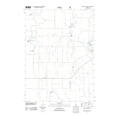
2011 Map of Malad City West
USGS Topo · Published 2011About this map
The Little Malad River and its tributary Devil Creek define the agricultural and water-management landscape of Oneida County in the early 21st century. This survey documents a critical intersection of irrigation and recreation, featuring significant water works like the Saint John Dam and the Samaria Number One Lower Dam. Small settlements such as Saint Johns, Pleasantview, and Gwenford are scattered across the valley floor, connected by a network of rural roads that follow the section lines.
Find a feature on this map
71 named features on this map. Tap any name to fly to it.
Don’t see what you’re looking for? This feature index may not catch every label — zoom into the map to look around manually.
Map Details
Editions of this 2011 Malad City West Map
This is the sole edition of this map. No revisions or reprints were ever made.
Other maps of this area

1954 · Pocatello
USGS Topo · 1:250,000

1958 · Pocatello
USGS Topo · 1:250,000

1963 · Daniels
USGS Topo · 1:24,000

1968 · Ireland Springs
USGS Topo · 1:24,000

1968 · Grover Canyon
USGS Topo · 1:24,000

1968 · Samaria
USGS Topo · 1:24,000

1968 · Daniels
USGS Topo · 1:24,000

1968 · Malad Summit
USGS Topo · 1:24,000

1968 · Malad City West
USGS Topo · 1:24,000

1968 · Malad City East
USGS Topo · 1:24,000