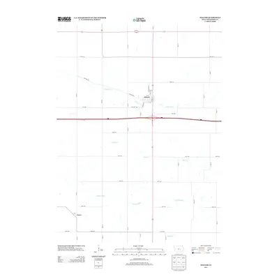
2013 Map of Malcom
USGS Topo · Published 2013About this map
Malcom sits at a crossroads of early twentieth-century commerce and modern transport, where the township grid meets the irregular path of Diagonal Rd. This landscape is defined by the headwaters and tributaries that drain the Iowa plains, including the meandering Little Bear Cr and the N English River further south. The settlement of Ewart appears at the western edge of the quadrangle along Ewart Rd, representing the small-scale rural hamlets that once anchored the agricultural economy. While modern Interstate 80 cuts a straight east-west line across the center, the surrounding network of section-line roads like 90th St and 110th St reveals the enduring structure of the original land surveys. The interplay between the natural flow of Dugout Cr and the rigid road grid highlights the transition from a nineteenth-century river-oriented economy to a modern highway-based transit system.
Find a feature on this map
40 named features on this map. Tap any name to fly to it.
Don’t see what you’re looking for? This feature index may not catch every label — zoom into the map to look around manually.
Map Details
Editions of this 2013 Malcom Map
This is the sole edition of this map. No revisions or reprints were ever made.
Other maps of this area

1954 · Des Moines
USGS Topo · 1:250,000

1956 · Des Moines
USGS Topo · 1:250,000

1957 · Des Moines
USGS Topo · 1:250,000

1968 · Brooklyn
USGS Topo · 1:24,000

1968 · Belle Plaine SW
USGS Topo · 1:24,000

1968 · Barnes City
USGS Topo · 1:24,000

1969 · Des Moines
USGS Topo · 1:250,000

1979 · Montezuma
USGS Topo · 1:24,000

1979 · Searsboro
USGS Topo · 1:24,000

1979 · Grinnell South
USGS Topo · 1:24,000