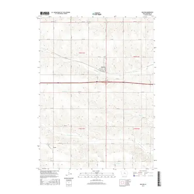
2015 Map of Malcom
USGS Topo · Published 2015About this map
Malcom serves as the primary hub in this corner of Poweshiek County, centered around a grid including 3rd St, 2nd St, and Clay St. The surrounding countryside is defined by the headwaters of several notable drainage systems, where Little Bear Cr flows through the northern township while the N English River and the source of the Deep River carve through the southern landscape.
Find a feature on this map
31 named features on this map. Tap any name to fly to it.
Don’t see what you’re looking for? This feature index may not catch every label — zoom into the map to look around manually.
Map Details
Editions of this 2015 Malcom Map
This is the sole edition of this map. No revisions or reprints were ever made.
Other maps of this area

1954 · Des Moines
USGS Topo · 1:250,000

1956 · Des Moines
USGS Topo · 1:250,000

1957 · Des Moines
USGS Topo · 1:250,000

1968 · Brooklyn
USGS Topo · 1:24,000

1968 · Belle Plaine SW
USGS Topo · 1:24,000

1968 · Barnes City
USGS Topo · 1:24,000

1969 · Des Moines
USGS Topo · 1:250,000

1979 · Montezuma
USGS Topo · 1:24,000

1979 · Searsboro
USGS Topo · 1:24,000

1979 · Grinnell South
USGS Topo · 1:24,000