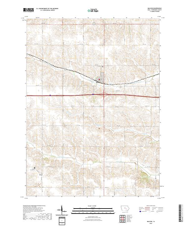
2022 Map of Malcom
USGS Topo · Published 2022About this map
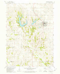
Malcom stands as the primary hub of this eastern Iowa landscape, situated where the grid of Old 6 RD and the angled path of Diagonal Rd converge. The town's layout is defined by streets like Washington St and Montezuma St, with Ivy Hill Cem serving the community from the northern outskirts. To the south, the settlement of Ewart occupies a quiet position near Pleasant Township Cem, reflecting the agricultural settlement patterns that have shaped Poweshiek County for generations.
Find a feature on this map
45 named features on this map. Tap any name to fly to it.
Don’t see what you’re looking for? This feature index may not catch every label — zoom into the map to look around manually.
Map Details
Editions of this 2022 Malcom Map
This is the sole edition of this map. No revisions or reprints were ever made.
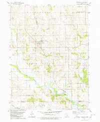
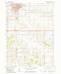
Other maps of this area

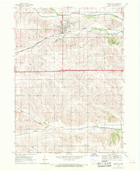
1954 · Des Moines
USGS Topo · 1:250,000

1956 · Des Moines
USGS Topo · 1:250,000

1957 · Des Moines
USGS Topo · 1:250,000
1968 · Brooklyn
USGS Topo · 1:24,000
1968 · Belle Plaine SW
USGS Topo · 1:24,000
1968 · Barnes City
USGS Topo · 1:24,000

1969 · Des Moines
USGS Topo · 1:250,000
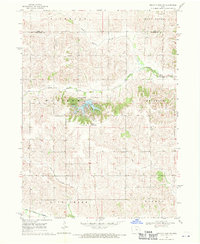
1979 · Montezuma
USGS Topo · 1:24,000
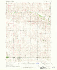
1979 · Searsboro
USGS Topo · 1:24,000
1979 · Grinnell South
USGS Topo · 1:24,000