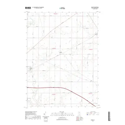
2018 Map of Malden
USGS Topo · Published 2018About this map
Malden sits at the western edge of this agricultural landscape in Bureau County, where the regular geometry of section lines meets the winding drainage of the Bureau Creek system. The village layout is centered near Malden Cem, while the smaller settlement of Zearing and the village of Arlington punctuate the eastern reaches of the quadrangle. The terrain is defined by the branching paths of Big Bureau Cr, E Bureau Cr, and Brush Cr, which carve subtle valleys through the township. In the southwest corner, Beaver Glenn Lake provides a localized water feature amidst an extensive network of rural roads such as Co Rd 7 and Co Rd 12. This 2018 survey illustrates a modern rural Illinois landscape where historical township divisions and small-town centers remain the primary focal points for local navigation and community identity.
Find a feature on this map
37 named features on this map. Tap any name to fly to it.
Don’t see what you’re looking for? This feature index may not catch every label — zoom into the map to look around manually.
Map Details
Editions of this 2018 Malden Map
This is the sole edition of this map. No revisions or reprints were ever made.
Other maps of this area

1893 · Hennepin
USGS Topo · 1:62,500

1893 · Lasalle
USGS Topo · 1:62,500

1909 · Hennepin
USGS Topo · 1:62,500

1911 · La Salle
USGS Topo · 1:62,500

1911 · Hennepin
USGS Topo · 1:62,500

1913 · La Salle
USGS Topo · 1:62,500

1947 · La Salle
USGS Topo · 1:62,500

1951 · Amboy
USGS Topo · 1:62,500

1952 · Mendota
USGS Topo · 1:62,500

1958 · Aurora
USGS Topo · 1:250,000