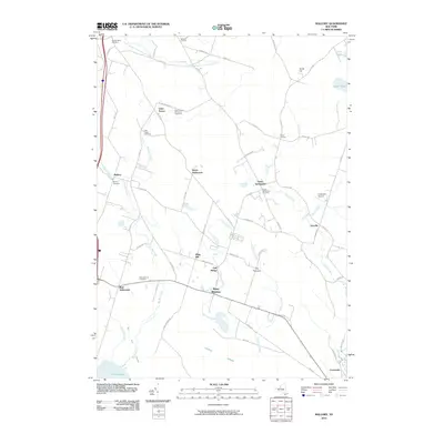
2010 Map of Mallory
USGS Topo · Published 2010About this map
The lowlands of northern Oneida Lake dominate this 2010 survey, where the marshy expanse of Big Bay Swamp meets a series of inland hamlets and rural settlements. The drainage patterns of Slocum Creek, Big Bay Creek, and Threemile Creek define the landscape, which is largely structured around a network of early county routes and local roads. Scattered throughout the territory are several small burial grounds that anchor the local history, including the West Monroe Cemetery and the Mallory Cemetery.
Find a feature on this map
67 named features on this map. Tap any name to fly to it.
Don’t see what you’re looking for? This feature index may not catch every label — zoom into the map to look around manually.
Map Details
Editions of this 2010 Mallory Map
This is the sole edition of this map. No revisions or reprints were ever made.
Other maps of this area

1895 · Chittenango
USGS Topo · 1:62,500

1895 · Syracuse
USGS Topo · 1:62,500

1898 · Syracuse
USGS Topo · 1:62,500

1898 · Chittenango
USGS Topo · 1:62,500

1902 · Chittenango
USGS Topo · 1:62,500

1905 · Mexico
USGS Topo · 1:62,500

1906 · Kasoag
USGS Topo · 1:62,500

1940 · Brewerton
USGS Topo · 1:24,000

1940 · Cicero
USGS Topo · 1:24,000

1941 · Cleveland
USGS Topo · 1:24,000