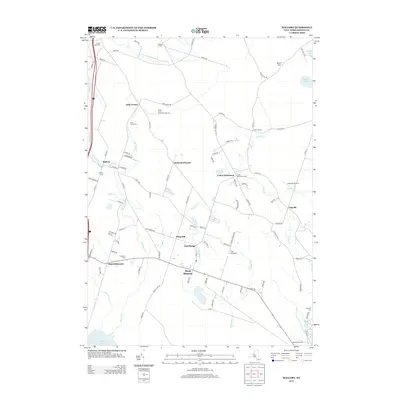
2013 Map of Mallory
USGS Topo · Published 2013About this map
West Monroe and the surrounding hamlets of northern New York are defined by a network of small creeks and legacy family settlements. The landscape transitions from the northern edge of Oneida Lake through low-lying areas like Mud Settlement and Gulf Bridge toward the higher ground of Whig Hill and The Pinnacle. Local genealogy is well-preserved through numerous burial grounds, including the Little France Cem and Carleys Mills Cem, which mark the centers of early community life. Small-scale aviation and agriculture also shape the area, with the Engineers Airport and Green Acres Christmas Tree Farm providing contemporary points of interest. These distinct neighborhoods, such as Dutch Settlement and Union Settlement, illustrate the enduring rural character of Oswego County, where the terrain is bisected by winding watercourses like Slocum Cr and Threemile Cr.
Find a feature on this map
98 named features on this map. Tap any name to fly to it.
Don’t see what you’re looking for? This feature index may not catch every label — zoom into the map to look around manually.
Map Details
Editions of this 2013 Mallory Map
This is the sole edition of this map. No revisions or reprints were ever made.
Other maps of this area

1895 · Chittenango
USGS Topo · 1:62,500

1895 · Syracuse
USGS Topo · 1:62,500

1898 · Syracuse
USGS Topo · 1:62,500

1898 · Chittenango
USGS Topo · 1:62,500

1902 · Chittenango
USGS Topo · 1:62,500

1905 · Mexico
USGS Topo · 1:62,500

1906 · Kasoag
USGS Topo · 1:62,500

1940 · Brewerton
USGS Topo · 1:24,000

1940 · Cicero
USGS Topo · 1:24,000

1941 · Cleveland
USGS Topo · 1:24,000