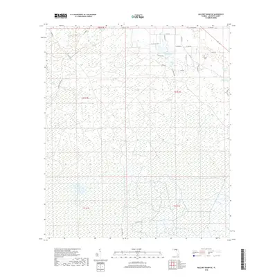
2018 Map of Mallory Swamp NE
USGS Topo · Published 2018About this map
Picket Lake and Adams Lake anchor the northern landscape of this Lafayette County region, where the terrain is dominated by intricate wetland networks and swampy lowlands. The geography is defined by subtle shifts in elevation, marked by features such as Brushy Hummock and the broad expanse of Crane Bay. This area, situated within the Florida panhandle's interior timber and swamp lands, shows a specialized road network designed to navigate the saturated ground, including named routes like SE Stregis Grade and Canal Rd.
Find a feature on this map
35 named features on this map. Tap any name to fly to it.
Don’t see what you’re looking for? This feature index may not catch every label — zoom into the map to look around manually.
Map Details
Editions of this 2018 Mallory Swamp NE Map
This is the sole edition of this map. No revisions or reprints were ever made.
Other maps of this area

1954 · Mallory Swamp NW
USGS Topo · 1:24,000

1954 · Mallory Swamp SW
USGS Topo · 1:24,000

1954 · Mallory Swamp SE
USGS Topo · 1:24,000

1954 · Mallory Swamp NE
USGS Topo · 1:24,000

1954 · Gainesville
USGS Topo · 1:250,000

1954 · Valdosta
USGS Topo · 1:250,000

1955 · Mayo
USGS Topo · 1:24,000

1955 · Mayo SE
USGS Topo · 1:24,000
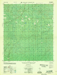
1956 · Mallory Swamp NW
USGS Topo · 1:25,000

1956 · Mallory Swamp SE
USGS Topo · 1:25,000