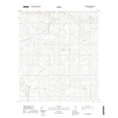
2021 Map of Mallory Swamp NW
USGS Topo · Published 2021About this map
The Steinhatchee River defines the western edge of this swampy landscape, carving through a region of the Florida panhandle dominated by numerous named bays and ponds. This interior portion of Lafayette County is characterized by its complex hydrology, where isolated water bodies like Rattlesnake Pond, Bee Pond, and Still Bay punctuate a low-lying terrain. The naming conventions for these features—ranging from Bear Bay to Johnson Bay—suggest a history of local land use and seasonal drainage patterns common to the Big Bend region.
Find a feature on this map
34 named features on this map. Tap any name to fly to it.
Don’t see what you’re looking for? This feature index may not catch every label — zoom into the map to look around manually.
Map Details
Editions of this 2021 Mallory Swamp NW Map
This is the sole edition of this map. No revisions or reprints were ever made.
Other maps of this area

1954 · Mallory Swamp NW
USGS Topo · 1:24,000

1954 · Day SE
USGS Topo · 1:24,000

1954 · Clara
USGS Topo · 1:24,000

1954 · Mallory Swamp SW
USGS Topo · 1:24,000

1954 · Cooks Hammock
USGS Topo · 1:24,000

1954 · Mallory Swamp SE
USGS Topo · 1:24,000

1954 · Mallory Swamp NE
USGS Topo · 1:24,000

1954 · Gainesville
USGS Topo · 1:250,000

1954 · Valdosta
USGS Topo · 1:250,000

1955 · Mayo
USGS Topo · 1:24,000