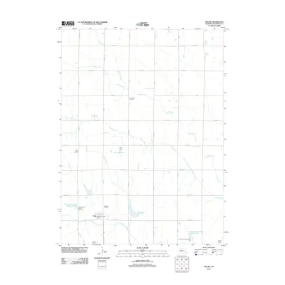
2011 Map of Malmo
USGS Topo · Published 2011About this map
Malmo serves as the primary hub for this section of Saunders County, with the village layout and the Malmo Post Office providing a focal point for the surrounding agricultural community. The landscape is characterized by a high concentration of institutional landmarks that tell the story of early settlement and religious heritage, including the Holy Rosary Cemetery, Saint Johns Cemetery, Bethesda Cemetery, and the Lutheran Cemetery.
Find a feature on this map
31 named features on this map. Tap any name to fly to it.
Don’t see what you’re looking for? This feature index may not catch every label — zoom into the map to look around manually.
Map Details
Editions of this 2011 Malmo Map
This is the sole edition of this map. No revisions or reprints were ever made.
Other maps of this area

1899 · Wahoo
USGS Topo · 1:125,000

1955 · Fremont
USGS Topo · 1:250,000

1957 · Fremont
USGS Topo · 1:250,000

1958 · Fremont
USGS Topo · 1:250,000
1968 · Malmo NW
USGS Topo · 1:24,000
1968 · Fremont West
USGS Topo · 1:24,000
1968 · North Bend
USGS Topo · 1:24,000
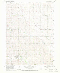
1969 · Malmo
USGS Topo · 1:24,000
1969 · Touhy
USGS Topo · 1:24,000
1969 · Colon
USGS Topo · 1:24,000