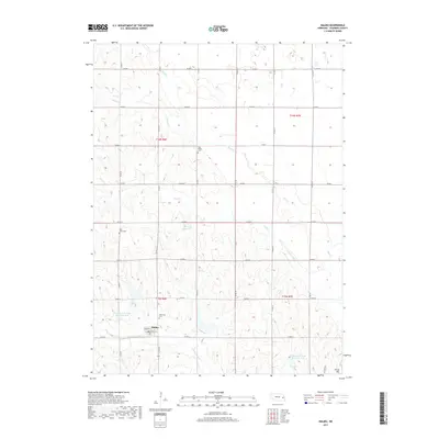
2017 Map of Malmo
USGS Topo · Published 2017About this map
Malmo serves as the primary hub of this eastern Nebraska landscape, where the grid of county roads meets the waters of Cottonwood Creek. The township is defined by its agricultural character and a network of drainages including Sand Creek, Spring Creek, and Duck Creek. Several small water management features, such as Barry Reservoir and Cottonwood Creek Reservoir 8-D, are integrated into the rolling terrain near Skunk Hill. For those researching local heritage, the area maintains its historical anchors through several well-marked burial grounds, including Bethesda Cemetery just north of the town center, Saint Johns Cemetery to the west, and Holy Rosary Cemetery situated along the northern stretch of Sand Creek. The map provides a clear view of the rural infrastructure, from the village streets like Dawson St to the sectional boundaries of T16N and T15N.
Find a feature on this map
32 named features on this map. Tap any name to fly to it.
Don’t see what you’re looking for? This feature index may not catch every label — zoom into the map to look around manually.
Map Details
Editions of this 2017 Malmo Map
This is the sole edition of this map. No revisions or reprints were ever made.
Other maps of this area

1899 · Wahoo
USGS Topo · 1:125,000

1955 · Fremont
USGS Topo · 1:250,000

1957 · Fremont
USGS Topo · 1:250,000

1958 · Fremont
USGS Topo · 1:250,000
1968 · Malmo NW
USGS Topo · 1:24,000
1968 · Fremont West
USGS Topo · 1:24,000
1968 · North Bend
USGS Topo · 1:24,000
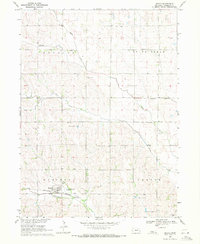
1969 · Malmo
USGS Topo · 1:24,000
1969 · Touhy
USGS Topo · 1:24,000
1969 · Colon
USGS Topo · 1:24,000