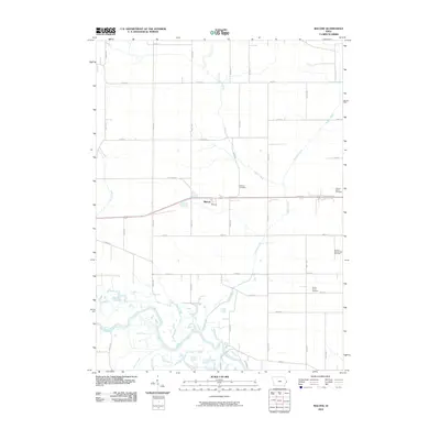
2010 Map of Malone
USGS Topo · Published 2010About this map
The Malone settlement and its surrounding agricultural landscape are defined by the winding course of the Wapsipinicon River and its numerous tributaries. This survey captures a rural Iowa township grid where small family-named burial grounds like the Cousin-Smith Cemetery, Pehlarm Cemetery, and the hyphenated Bowers-Dannatt-Hill Cemetery provide important genealogical markers of early area families. The southern portion of the quadrangle is dominated by the intricate hydrology of the river bottomlands, where Jones Creek and Martin Creek feed into the larger channel.
Find a feature on this map
35 named features on this map. Tap any name to fly to it.
Don’t see what you’re looking for? This feature index may not catch every label — zoom into the map to look around manually.
Map Details
Editions of this 2010 Malone Map
This is the sole edition of this map. No revisions or reprints were ever made.
Other maps of this area

1891 · DeWitt
USGS Topo · 1:62,500

1891 · Davenport
USGS Topo · 1:62,500

1892 · Goose Lake
USGS Topo · 1:62,500

1892 · Leclaire
USGS Topo · 1:62,500

1893 · Leclaire
USGS Topo · 1:62,500

1894 · Goose Lake
USGS Topo · 1:62,500

1894 · Davenport
USGS Topo · 1:62,500

1899 · Clinton
USGS Topo · 1:125,000

1901 · Rock Island
USGS Topo · 1:125,000

1910 · Rock Island
USGS Topo · 1:125,000