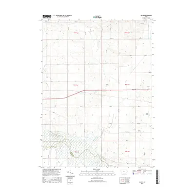
2015 Map of Malone
USGS Topo · Published 2015About this map
The Wapsipinicon River floodplain dominates the southern landscape of this quadrangle, where the boundary between Clinton Co and Scott Co follows the river's winding course. This area is defined by its agricultural grid and the small settlement of Malone, situated along the historic Lincoln Way corridor. The map reveals a high density of rural burial sites that offer significant value for genealogical research, including the Pehlam Cem, Cousin- Smith Cem, and the uniquely named Bowers- Dannatt- Hill Cem. Numerous waterways such as Brophy Creek, Ames Cr, and Cherry Cr drain the surrounding fields. The transition from the structured township blocks of t81n r4e and t81n r5e to the complex wetlands of the river valley illustrates the intersection of midwestern farming patterns with the natural hydrology of eastern Iowa.
Find a feature on this map
24 named features on this map. Tap any name to fly to it.
Don’t see what you’re looking for? This feature index may not catch every label — zoom into the map to look around manually.
Map Details
Editions of this 2015 Malone Map
This is the sole edition of this map. No revisions or reprints were ever made.
Other maps of this area

1891 · DeWitt
USGS Topo · 1:62,500

1891 · Davenport
USGS Topo · 1:62,500

1892 · Goose Lake
USGS Topo · 1:62,500

1892 · Leclaire
USGS Topo · 1:62,500

1893 · Leclaire
USGS Topo · 1:62,500

1894 · Goose Lake
USGS Topo · 1:62,500

1894 · Davenport
USGS Topo · 1:62,500

1899 · Clinton
USGS Topo · 1:125,000

1901 · Rock Island
USGS Topo · 1:125,000

1910 · Rock Island
USGS Topo · 1:125,000