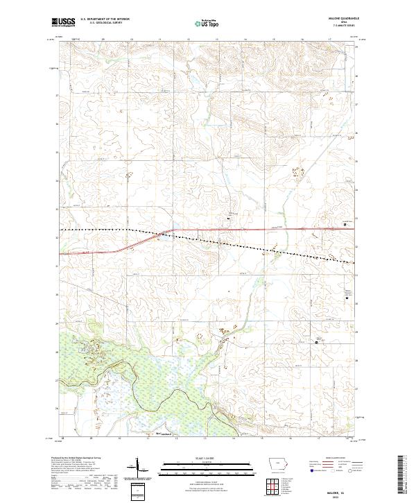
2022 Map of Malone
USGS Topo · Published 2022About this map
McCausland anchors the southern portion of this landscape at the junction of the Clinton and Scott county line, where the Wapsipinicon River basin creates a complex network of wetlands and tributaries. The terrain is defined by the northward reach of Brophy Cr and Cherry Cr, which carve through the agricultural uplands. This 2022 survey captures a high concentration of small family and community burial sites, including the Bowers - Dannatt - Hill Cem, Cousins Cem, Cherrywood Cem, and Prairie Union Cem, each providing significant data points for genealogical research in this rural corridor. The infrastructure is marked by long-established routes such as Lincoln Way and several named county highways that trace the section lines of the Public Land Survey System, highlighting the enduring grid of the eastern Iowa heartland.
Find a feature on this map
39 named features on this map. Tap any name to fly to it.
Don’t see what you’re looking for? This feature index may not catch every label — zoom into the map to look around manually.
Map Details
Editions of this 2022 Malone Map
This is the sole edition of this map. No revisions or reprints were ever made.
Other maps of this area

1891 · DeWitt
USGS Topo · 1:62,500

1891 · Davenport
USGS Topo · 1:62,500

1892 · Goose Lake
USGS Topo · 1:62,500

1892 · Leclaire
USGS Topo · 1:62,500

1893 · Leclaire
USGS Topo · 1:62,500

1894 · Goose Lake
USGS Topo · 1:62,500

1894 · Davenport
USGS Topo · 1:62,500

1899 · Clinton
USGS Topo · 1:125,000

1901 · Rock Island
USGS Topo · 1:125,000

1910 · Rock Island
USGS Topo · 1:125,000