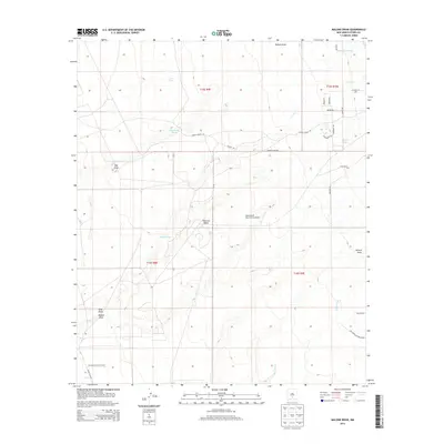
2013 Map of Malone Draw
USGS Topo · Published 2013About this map
Tularosa Valley defines this arid landscape in Otero County, where the desert floor is carved by numerous seasonal drainages like Malone Draw and Carter Draw. The southern portion of the map is dominated by the northern extent of Holloman Air Force Base, showing its proximity to the rural ranching and aviation infrastructure of the region. Transportation and water access shape the human footprint here, from the Mesa Verde Ranch Strip Airport to vital water sources such as Sand Spring and Daugherty Tank. Local ranching history is preserved in names like Danley Ranch Rd, while the Old Spanish Trl cuts across the northeastern terrain, tracing a historical corridor through the high desert. The map captures the transition from open range to specialized military and aviation land use in the early 21st century.
Find a feature on this map
28 named features on this map. Tap any name to fly to it.
Don’t see what you’re looking for? This feature index may not catch every label — zoom into the map to look around manually.
Map Details
Editions of this 2013 Malone Draw Map
This is the sole edition of this map. No revisions or reprints were ever made.
Other maps of this area

1916 · Tularosa
USGS Topo · 1:125,000

1916 · Point Of Sands
USGS Topo · 1:125,000

1948 · Tularosa
USGS Topo · 1:62,500

1948 · Holloman
USGS Topo · 1:62,500

1950 · Alamogordo
USGS Topo · 1:62,500

1950 · Mescalero
USGS Topo · 1:62,500

1954 · Carlsbad
USGS Topo · 1:250,000

1954 · Tularosa
USGS Topo · 1:250,000

1955 · Las Cruces
USGS Topo · 1:250,000

1955 · Roswell
USGS Topo · 1:250,000