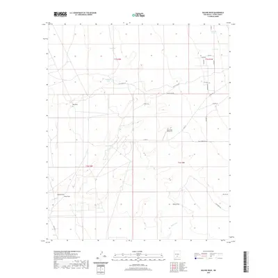
2020 Map of Malone Draw
USGS Topo · Published 2020About this map
Mesa Verde Ranch Strip sits at the heart of this Otero County landscape, where the high desert is defined by a network of ephemeral drainage systems and ranching infrastructure. The terrain is marked by significant natural water features including Sand Spring, Daugherty Tank, and the winding path of the Lost River in the southwestern corner. These water sources have historically dictated the placement of homesteads and grazing lands in this arid environment.
Find a feature on this map
32 named features on this map. Tap any name to fly to it.
Don’t see what you’re looking for? This feature index may not catch every label — zoom into the map to look around manually.
Map Details
Editions of this 2020 Malone Draw Map
This is the sole edition of this map. No revisions or reprints were ever made.
Other maps of this area

1916 · Tularosa
USGS Topo · 1:125,000

1916 · Point Of Sands
USGS Topo · 1:125,000

1948 · Tularosa
USGS Topo · 1:62,500

1948 · Holloman
USGS Topo · 1:62,500

1950 · Alamogordo
USGS Topo · 1:62,500

1950 · Mescalero
USGS Topo · 1:62,500

1954 · Carlsbad
USGS Topo · 1:250,000

1954 · Tularosa
USGS Topo · 1:250,000

1955 · Las Cruces
USGS Topo · 1:250,000

1955 · Roswell
USGS Topo · 1:250,000