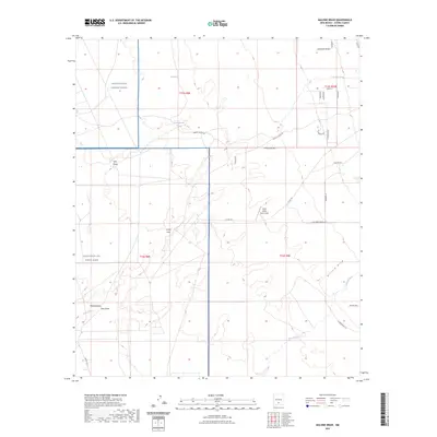
2023 Map of Malone Draw
USGS Topo · Published 2023About this map
White Sands Missile Range and Holloman Air Force Base dominate the western edge of this arid landscape, where military restricted zones meet a complex network of ephemeral watercourses and ranching roads. The terrain is defined by wide drainage features such as Malone Draw and Carter Draw, while the Lost River winds through the southwestern corner. These geological features trace the natural flow of water across a high-desert environment that has been heavily adapted for both national defense and livestock operations.
Find a feature on this map
36 named features on this map. Tap any name to fly to it.
Don’t see what you’re looking for? This feature index may not catch every label — zoom into the map to look around manually.
Map Details
Editions of this 2023 Malone Draw Map
This is the sole edition of this map. No revisions or reprints were ever made.
Other maps of this area

1916 · Tularosa
USGS Topo · 1:125,000

1916 · Point Of Sands
USGS Topo · 1:125,000

1948 · Tularosa
USGS Topo · 1:62,500

1948 · Holloman
USGS Topo · 1:62,500

1950 · Alamogordo
USGS Topo · 1:62,500

1950 · Mescalero
USGS Topo · 1:62,500

1954 · Carlsbad
USGS Topo · 1:250,000

1954 · Tularosa
USGS Topo · 1:250,000

1955 · Las Cruces
USGS Topo · 1:250,000

1955 · Roswell
USGS Topo · 1:250,000