Loading...
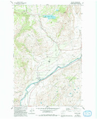
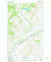
Loading map...1981 Map of Malott
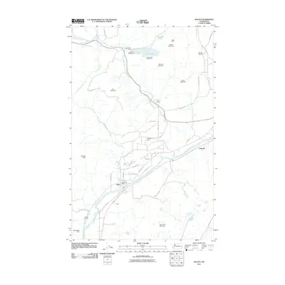
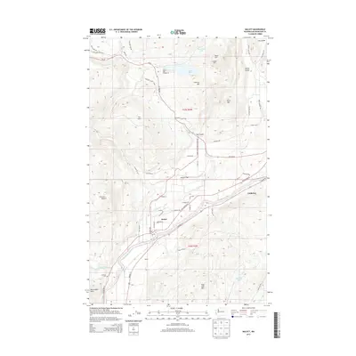
USGS Topo · Published 1993About this map
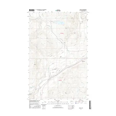
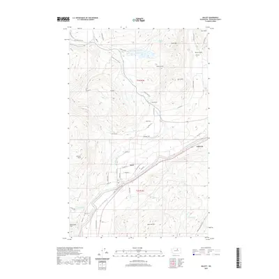
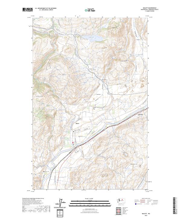
Malott serves as the primary settlement on this Okanogan County landscape, situated along the Okanogan River just across the boundary of the Colville Indian Reservation. The river valley, a corridor of economic activity, shows the Malott (Siding) and several resource-based features like a Quarry and a Pumping Station. To the west, the terrain rises sharply toward Fox Mountain and Chiliwist Butte, where the small Chiliwist Cem is located near Chiliwist Creek.
Find a feature on this map
29 named features on this map. Tap any name to fly to it.
Don’t see what you’re looking for? This feature index may not catch every label — zoom into the map to look around manually.
Map Details
Date Portrayed1981
Date Published1993
PublisherU.S. Geological Survey
Map TypeTopographic
Scale1:24,000
Physical Dimensions22.2 x 27.2 inches
Editions of this 1981 Malott Map
2 editions found
Historical Maps of Chillowist Through Time
6 maps found
Featured Locations
Source Details
SourceU.S. Geological Survey
CopyrightPublic Domain