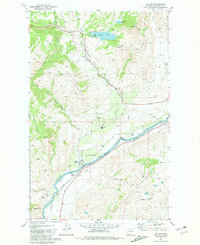
1981 Map of Malott
USGS Topo · Published 1981About this map
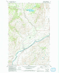
The Okanogan River carves a wide path through this northern Washington landscape, defining the corridor for the Burlington Northern railroad and the settlement of Malott. The town serves as a focal point for the surrounding orchards and cattle country, supported by its rail access at Malott (Siding). To the west, the terrain rises toward Fox Mountain and the distinct Rattlesnake Point, while the southeastern portion of the map is defined by the Colville Indian Reservation Boundary south of the river. This 1981 survey documents the local water management essential for high-desert agriculture, visible in the numerous gaging and pumping stations along the river and tributaries like Chiliwist Creek. Smaller water bodies such as Spaulding Lake, Leader Lake, and Soap Lake are scattered across the hills, often accompanied by developed recreational areas like Campgrounds and Boat Ramp.
Find a feature on this map
34 named features on this map. Tap any name to fly to it.
Don’t see what you’re looking for? This feature index may not catch every label — zoom into the map to look around manually.
Map Details
Editions of this 1981 Malott Map
2 editions found
Other maps of this area

1905 · Okanogan
USGS Topo · 1:125,000

1954 · Okanogan
USGS Topo · 1:250,000

1956 · Loup Loup
USGS Topo · 1:62,500

1957 · Okanogan
USGS Topo · 1:62,500

1957 · Bridgeport
USGS Topo · 1:62,500

1957 · Brewster
USGS Topo · 1:62,500

1958 · Okanogan
USGS Topo · 1:250,000

1980 · Okanogan
USGS Topo · 1:24,000
1980 · Omak
USGS Topo · 1:24,000
1980 · White Lakes
USGS Topo · 1:24,000