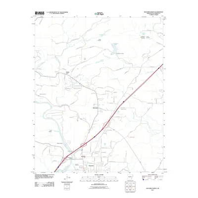
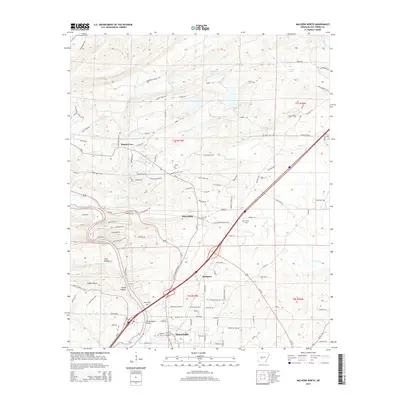
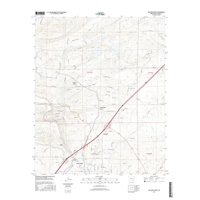
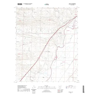
2000 Map of Malvern North
USGS Topo · Published 2002About this map
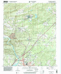
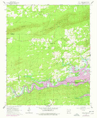
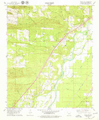
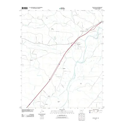
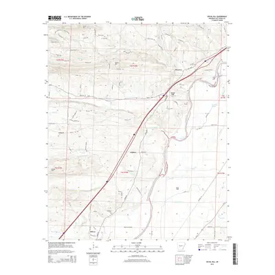
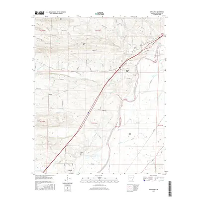
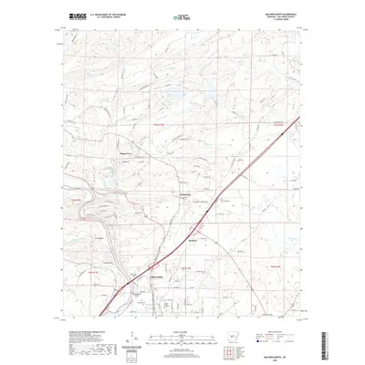
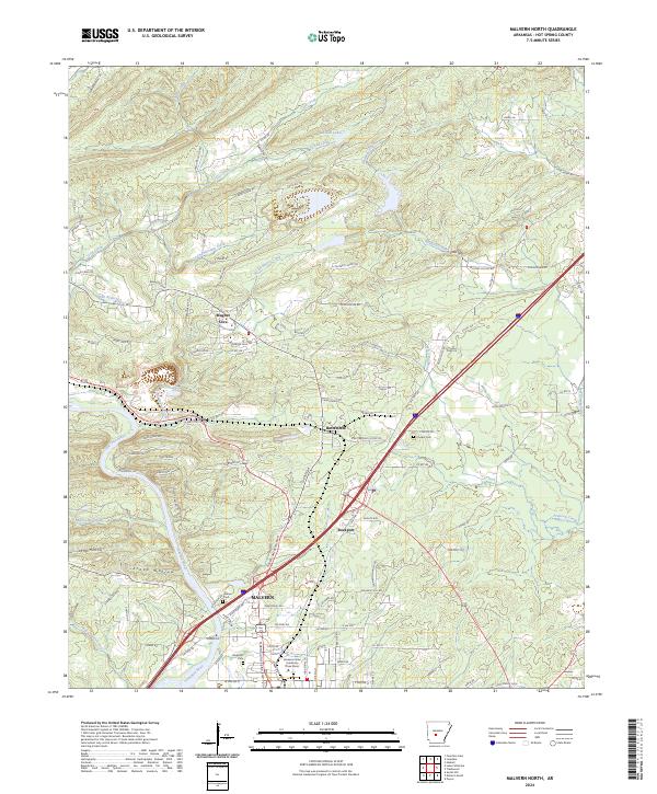
The Ouachita River winds through the southwestern corner of this region, providing a natural focal point near the historic community of Rockport. This area, just north of Malvern, reveals a landscape defined by both its geology and its infrastructure. To the north, the unique geological features of Magnet Cove are evident, surrounded by numerous resource-related sites including quarries, mines, and Waste Disposal Ponds. The map details the local road network connecting Butterfield and Magnet, while also documenting vital community landmarks like the Magnet Cove School, Rockport Cemetery, and several rural churches. Steep terrain around Smoke Ridge and Stone Mountain is contrasted by the managed waters of Lucinda Lake and Clearwater Lake, illustrating the varied land use between industrial extraction and residential settlement at the turn of the millennium.
Find a feature on this map
45 named features on this map. Tap any name to fly to it.
Don’t see what you’re looking for? This feature index may not catch every label — zoom into the map to look around manually.
Map Details
Editions of this 2000 Malvern North Map
This is the sole edition of this map. No revisions or reprints were ever made.
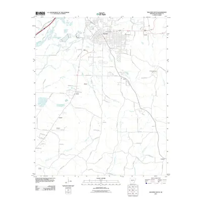
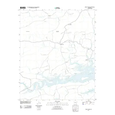
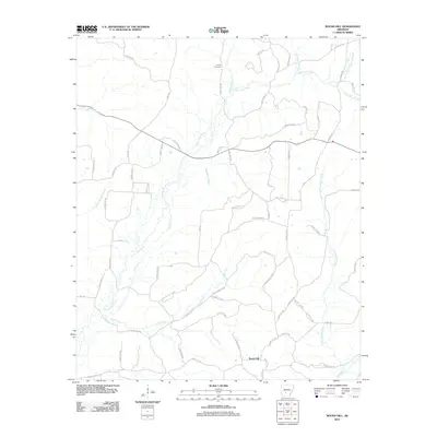
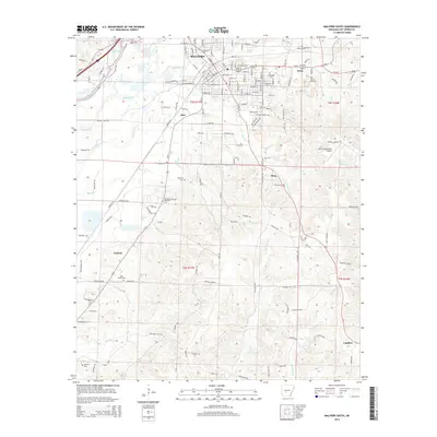
Historical Maps of Malvern Through Time
50 maps found
1965 Round Hill
Hot Spring County, AR
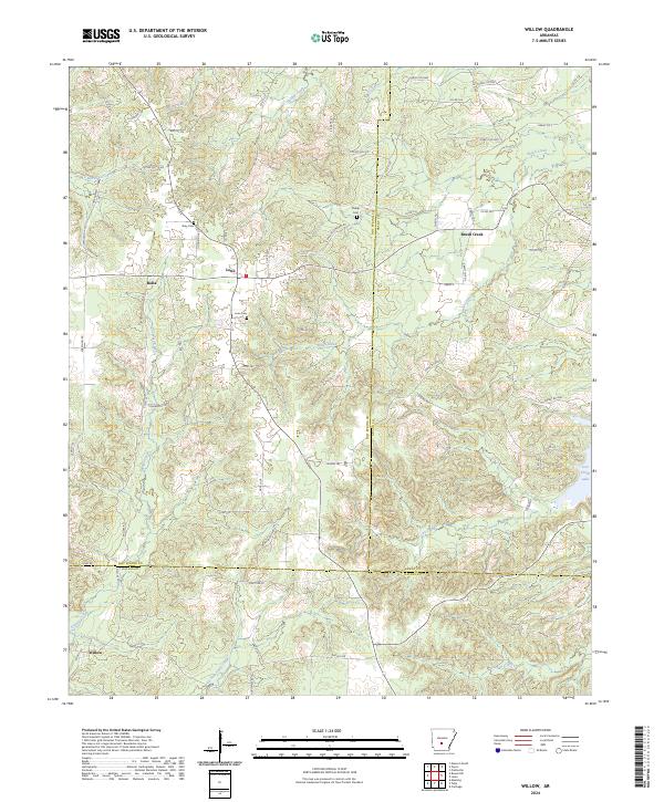
1965 Willow
Hot Spring County, AR
1966 De Roche
Hot Spring County, AR
1966 Point Cedar
Hot Spring County, AR
1978 Lake Catherine
Hot Spring County, AR
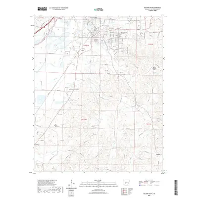
1978 Malvern North
Hot Spring County, AR
1978 Malvern South
Hot Spring County, AR
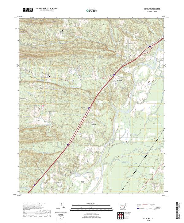
1978 Social Hill
Hot Spring County, AR
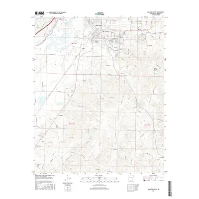
2000 Malvern North
Hot Spring County, AR
2000 Malvern South
Hot Spring County, AR
2011 De Roche
Hot Spring County, AR
2011 Lake Catherine
Hot Spring County, AR
2011 Malvern North
Hot Spring County, AR
2011 Malvern South
Hot Spring County, AR
2011 Point Cedar
Hot Spring County, AR
2011 Round Hill
Hot Spring County, AR
2011 Social Hill
Hot Spring County, AR
2011 Willow
Hot Spring County, AR
2014 De Roche
Hot Spring County, AR
2014 Lake Catherine
Hot Spring County, AR
2014 Malvern North
Hot Spring County, AR
2014 Malvern South
Hot Spring County, AR
2014 Point Cedar
Hot Spring County, AR
2014 Round Hill
Hot Spring County, AR
2014 Social Hill
Hot Spring County, AR
2014 Willow
Hot Spring County, AR
2017 De Roche
Hot Spring County, AR
2017 Lake Catherine
Hot Spring County, AR
2017 Malvern North
Hot Spring County, AR
2017 Malvern South
Hot Spring County, AR
2017 Point Cedar
Hot Spring County, AR
2017 Round Hill
Hot Spring County, AR
2017 Social Hill
Hot Spring County, AR
2017 Willow
Hot Spring County, AR
2020 De Roche
Hot Spring County, AR
2020 Lake Catherine
Hot Spring County, AR
2020 Malvern North
Hot Spring County, AR
2020 Malvern South
Hot Spring County, AR
2020 Point Cedar
Hot Spring County, AR
2020 Round Hill
Hot Spring County, AR
2020 Social Hill
Hot Spring County, AR
2020 Willow
Hot Spring County, AR
2024 De Roche
Hot Spring County, AR
2024 Lake Catherine
Hot Spring County, AR
2024 Malvern North
Hot Spring County, AR
2024 Malvern South
Hot Spring County, AR
2024 Point Cedar
Hot Spring County, AR
2024 Round Hill
Hot Spring County, AR
2024 Social Hill
Hot Spring County, AR
2024 Willow
Hot Spring County, AR