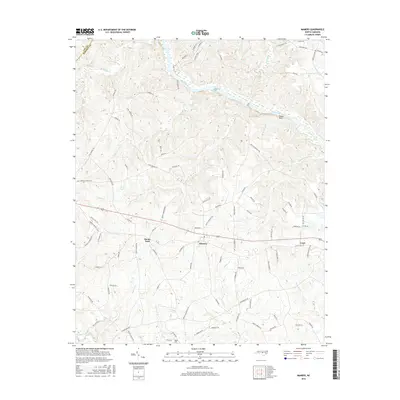
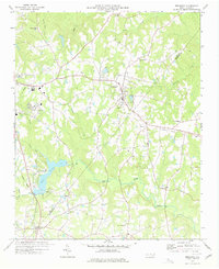
2016 Map of Mamers
USGS Topo · Published 2016About this map
Mamers sits as a central hub in this section of Harnett County, where the landscape is defined by the winding course of the Cape Fear River and the prominent landmark of Raven Rock. The area exhibits a rural settlement pattern with small communities like Boone Trail and Luart connected by a network of local roads such as Old US HWY 421. The topography is shaped by numerous tributaries, including Daniels Cr, Fish Cr, and Camels Cr, which drain into the larger river systems. Genealogists may find value in the location of Rogers Cem and roads leading to local landmarks such as Holly Springs Church Rd and Leaflet Church Rd. Further south, the Upper Little River meanders across the terrain, while Limer Falls provides a specific point of interest along the waterways. The map captures the transition from high river bluffs to more level plains, illustrating the agricultural and residential development of central North Carolina.
Find a feature on this map
96 named features on this map. Tap any name to fly to it.
Don’t see what you’re looking for? This feature index may not catch every label — zoom into the map to look around manually.
Map Details
Editions of this 2016 Mamers Map
This is the sole edition of this map. No revisions or reprints were ever made.
Other maps of this area

1953 · Raleigh
USGS Topo · 1:250,000

1954 · Raleigh
USGS Topo · 1:250,000

1956 · Anderson Creek
USGS Topo · 1:24,000

1956 · Bunnlevel
USGS Topo · 1:24,000
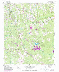
1957 · Olivia
USGS Topo · 1:24,000

1970 · Moncure
USGS Topo · 1:24,000
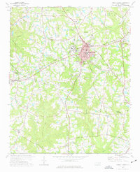
1974 · Fuquay-Varina
USGS Topo · 1:24,000

1974 · Mamers
USGS Topo · 1:24,000
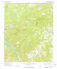
1974 · Cokesbury
USGS Topo · 1:24,000
1977 · Broadway
USGS Topo · 1:24,000