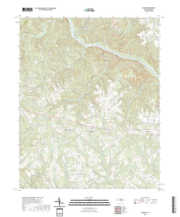
2022 Map of Mamers
USGS Topo · Published 2022About this map
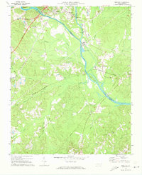
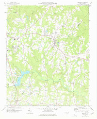
Mamers and the surrounding Harnett County landscape are defined by the winding course of the Cape Fear River, which cuts through the northern portion of the quadrangle. This area showcases a transition from agricultural fields to the dramatic river bluffs at Raven Rock, a prominent terrain feature. The map highlights the intersection of modern recreation and historical geography, as evidenced by an extensive trail system including the Campbell Creek Loop Trl, Fish Traps Trl, and the Northington Ferry Trl, the latter recalling a time when river crossings were vital nodes of local transit.
Find a feature on this map
110 named features on this map. Tap any name to fly to it.
Don’t see what you’re looking for? This feature index may not catch every label — zoom into the map to look around manually.
Map Details
Editions of this 2022 Mamers Map
This is the sole edition of this map. No revisions or reprints were ever made.
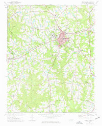
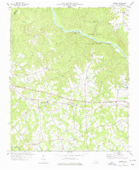
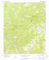
Other maps of this area

1953 · Raleigh
USGS Topo · 1:250,000

1954 · Raleigh
USGS Topo · 1:250,000
1956 · Anderson Creek
USGS Topo · 1:24,000
1956 · Bunnlevel
USGS Topo · 1:24,000
1957 · Olivia
USGS Topo · 1:24,000
1970 · Moncure
USGS Topo · 1:24,000
1974 · Fuquay-Varina
USGS Topo · 1:24,000
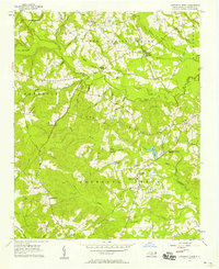
1974 · Mamers
USGS Topo · 1:24,000
1974 · Cokesbury
USGS Topo · 1:24,000
1977 · Broadway
USGS Topo · 1:24,000