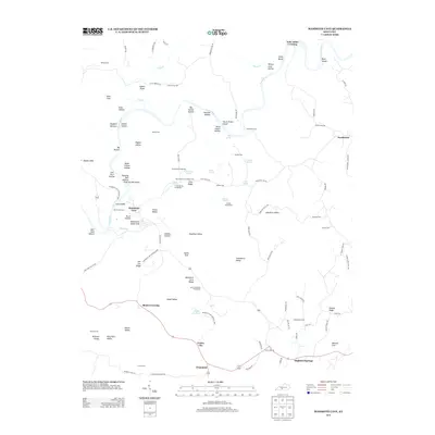
2013 Map of Mammoth Cave
USGS Topo · Published 2013About this map
Mammoth Cave and the surrounding karst landscape of Edmonson County define this 2013 survey. The subterranean system is linked to the surface through features like Mammoth Dome Sink, Echo River, and the Double Cellars, while the Green River winds past numerous islands including Cave Island and Floating Mill Island. The area’s human history is anchored by Mammoth Cave National Park, where specialized infrastructure like the Bransford Pumphouse and Mount McKinley Pumphouse supported the site's operations.
Find a feature on this map
108 named features on this map. Tap any name to fly to it.
Don’t see what you’re looking for? This feature index may not catch every label — zoom into the map to look around manually.
Map Details
Editions of this 2013 Mammoth Cave Map
This is the sole edition of this map. No revisions or reprints were ever made.
Other maps of this area

1922 · Mammoth Cave
USGS Topo · 1:62,500

1923 · Mammoth Cave
USGS Topo · 1:62,500

1925 · Cub Run
USGS Topo · 1:62,500

1934 · Munfordville
USGS Topo · 1:48,000

1935 · Horse Cave
USGS Topo · 1:48,000

1937 · Munfordville
USGS Topo · 1:62,500

1938 · Horse Cave
USGS Topo · 1:62,500

1953 · Munfordville
USGS Topo · 1:24,000

1954 · Evansville
USGS Topo · 1:250,000

1954 · Horse Cave
USGS Topo · 1:24,000