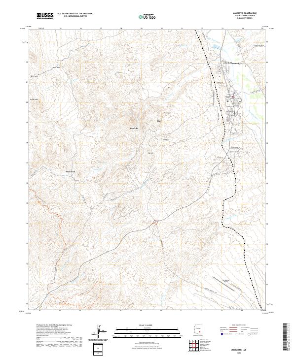
2021 Map of Mammoth
USGS Topo · Published 2021About this map
The San Pedro River flows through the eastern edge of this Pinal County landscape, defining a corridor for settlement and transit below the Black Hills. Central to the area's development is the mining-related history found near Tiger and Fordville, which sit amidst a network of washes including Tucson Wash and Mammoth Wash. The map documents the residential patterns of North Mammoth and the primary town of Mammoth, showing the layout of streets like N Main St and San Pedro Ave.
Find a feature on this map
49 named features on this map. Tap any name to fly to it.
Don’t see what you’re looking for? This feature index may not catch every label — zoom into the map to look around manually.
Map Details
Editions of this 2021 Mammoth Map
This is the sole edition of this map. No revisions or reprints were ever made.
Other maps of this area

1911 · Winkelman
USGS Topo · 1:125,000

1913 · Winkelman
USGS Topo · 1:125,000

1948 · Clark Ranch
USGS Topo · 1:24,000

1948 · Mammoth
USGS Topo · 1:62,500

1948 · Mammoth
USGS Topo · 1:24,000

1948 · Campo Bonito
USGS Topo · 1:24,000

1948 · Peppersauce Wash
USGS Topo · 1:24,000

1949 · Clark Ranch
USGS Topo · 1:24,000

1949 · Mammoth
USGS Topo · 1:24,000

1949 · Campo Bonito
USGS Topo · 1:24,000