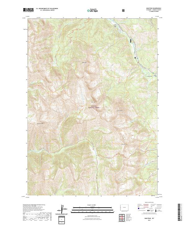
2021 Map of Man Peak
USGS Topo · Published 2021About this map
Bridger National Forest defines this high-altitude landscape in Lincoln County, where numerous peaks and mountain trails intersect along the Salt River Range. The terrain is anchored by prominent heights including Man Peak, Sherman Peak, and Virginia Peak, which overlook a complex network of drainage basins. The Greys River flows through the northeast, flanked by Indian Grave Flat and Moose Flat, while the southern reaches are carved by the dramatic descent of Strawberry Creek.
Find a feature on this map
38 named features on this map. Tap any name to fly to it.
Don’t see what you’re looking for? This feature index may not catch every label — zoom into the map to look around manually.
Map Details
Editions of this 2021 Man Peak Map
This is the sole edition of this map. No revisions or reprints were ever made.
Other maps of this area

1921 · Afton
USGS Topo · 1:125,000

1931 · Jackson
USGS Topo · 1:125,000

1935 · Jackson
USGS Topo · 1:125,000

1955 · Driggs
USGS Topo · 1:250,000

1955 · Preston
USGS Topo · 1:250,000

1958 · Driggs
USGS Topo · 1:250,000

1958 · Preston
USGS Topo · 1:250,000

1962 · Driggs
USGS Topo · 1:250,000

1962 · Preston
USGS Topo · 1:250,000

1965 · Pickle Pass
USGS Topo · 1:24,000