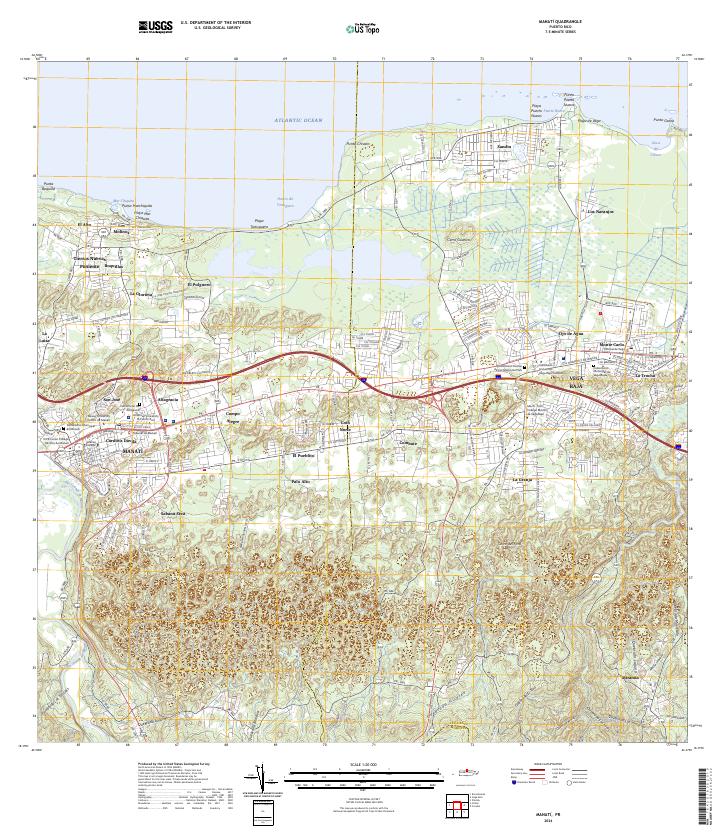
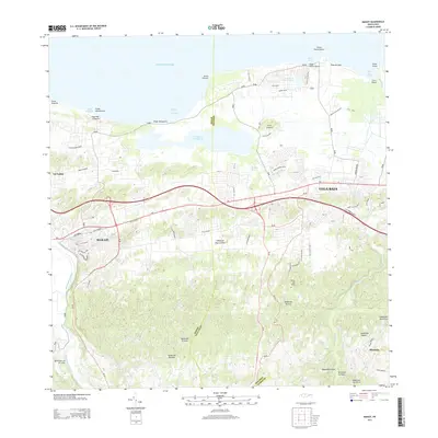
2024 Map of Manati
USGS Topo · Published 2024About this map
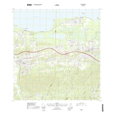
Manatí and Vega Baja anchor a landscape defined by the winding Río Grande de Manatí and the dramatic coastline of the Atlantic Ocean. This survey reveals a highly developed corridor along the PR-2 highway, where educational institutions like the American University of Puerto Rico and Atenas College sit near administrative centers such as the Tribunal de Manatí. The map documents a transition from these urban centers into the surrounding barrios, including Coto Norte and Sabana Seca.
Find a feature on this map
97 named features on this map. Tap any name to fly to it.
Don’t see what you’re looking for? This feature index may not catch every label — zoom into the map to look around manually.
Map Details
Editions of this 2024 Manati Map
This is the sole edition of this map. No revisions or reprints were ever made.
Historical Maps of Vega Baja Through Time
10 maps found

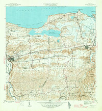
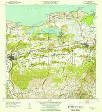
1942 Manati
Manatí Municipio, PR
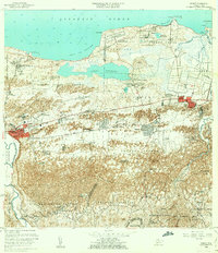
1946 Manati
Manatí Municipio, PR
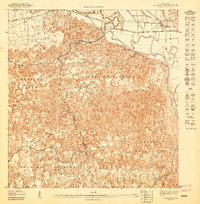
1947 Barceloneta SE
Manatí Municipio, PR
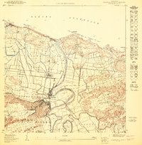
1950 Barceloneta NE
Manatí Municipio, PR
1953 Manati
Manatí Municipio, PR
1958 Manati
Manatí Municipio, PR
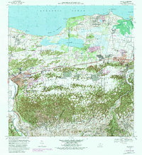
1969 Manati
Manatí Municipio, PR
2013 Manati
Manatí Municipio, PR
2018 Manati
Manatí Municipio, PR
2024 Manati
Manatí Municipio, PR
Featured Locations
- Sector El Criollo, Vega Baja
- Vega Baja, Vega Baja
- Barriada Polvorín, Manatí
- Manatí, Manatí
- Reparto Giovani, Manatí