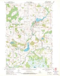
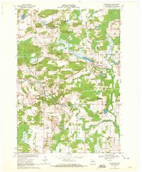
1969 Map of Manawa
USGS Topo · Published 1971About this map
The Little Wolf River and the Green Bay and Western Railroad converge at the village of Manawa, which serves as the central hub of this late-1960s Wisconsin landscape. The terrain is characterized by a dense network of country roads named for local families, such as Fuhs Road, Yohr Road, and Bigalke Road, reflecting the rural agricultural character of Waupaca and Little Wolf townships. Numerous small water bodies and marshlands are scattered throughout, including the prominent Bear Lake and the marshy edges of White Lake in the southern portion of the quadrangle.
Find a feature on this map
50 named features on this map. Tap any name to fly to it.
Don’t see what you’re looking for? This feature index may not catch every label — zoom into the map to look around manually.
Map Details
Editions of this 1969 Manawa Map
2 editions found
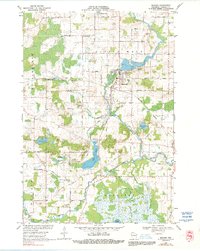
Other maps of this area

1955 · Clintonville
USGS Topo · 1:48,000

1955 · Tigerton
USGS Topo · 1:48,000

1955 · Green Bay
USGS Topo · 1:250,000

1956 · Weyauwega
USGS Topo · 1:48,000

1957 · Waupaca
USGS Topo · 1:48,000

1969 · Readfield
USGS Topo · 1:24,000

1969 · Northport
USGS Topo · 1:24,000
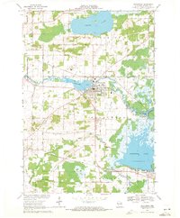
1969 · Weyauwega
USGS Topo · 1:24,000
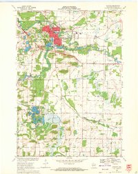
1969 · Waupaca
USGS Topo · 1:24,000
1969 · Ogdensburg
USGS Topo · 1:24,000