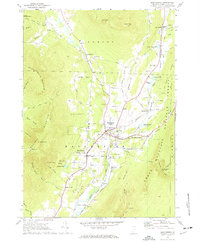
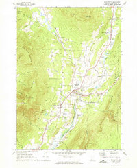
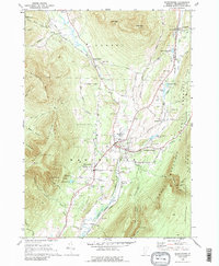
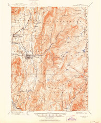
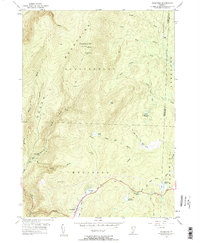
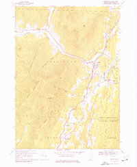
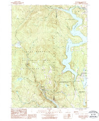
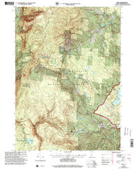
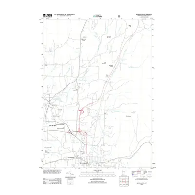
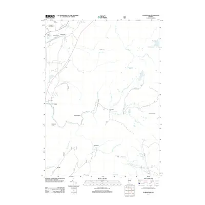
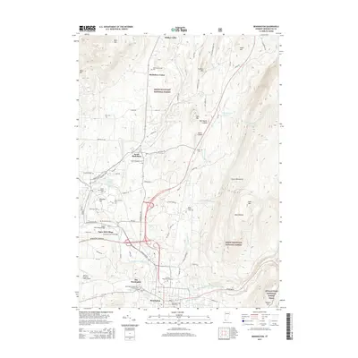
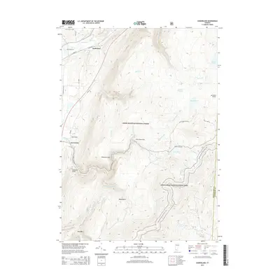
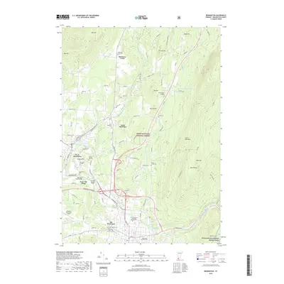
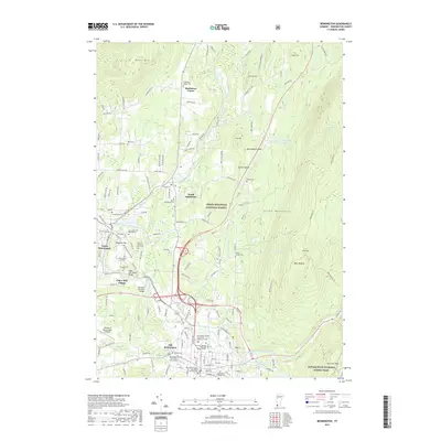
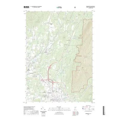
1968 Map of Manchester
USGS Topo · Published 1973About this map
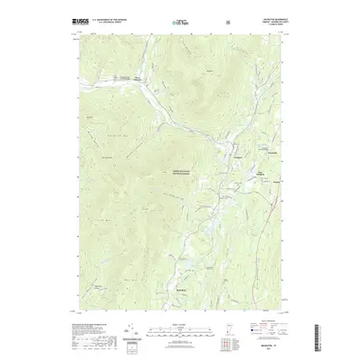
The Batten Kill river valley anchors this late-1960s Vermont landscape, where the bustling hubs of Manchester Center and Manchester Depot serve as the commercial core. The region's educational and social history is prominent, featuring the Burr-Barton Seminary and several long-established burial grounds like Dellwood Cem and Factory Point Cem. The Vermont Railway corridor traces the valley floor, connecting the primary settlements to northern outposts such as East Dorset and South Dorset.
Find a feature on this map
80 named features on this map. Tap any name to fly to it.
Don’t see what you’re looking for? This feature index may not catch every label — zoom into the map to look around manually.
Map Details
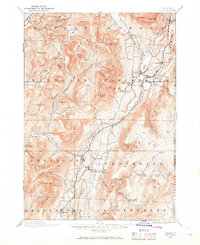
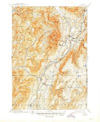
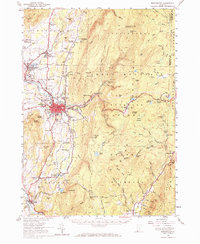
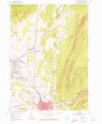
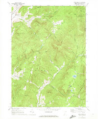
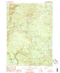
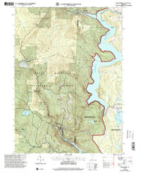
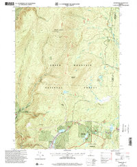
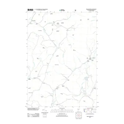
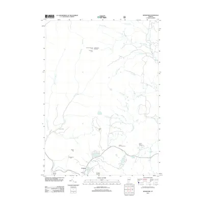
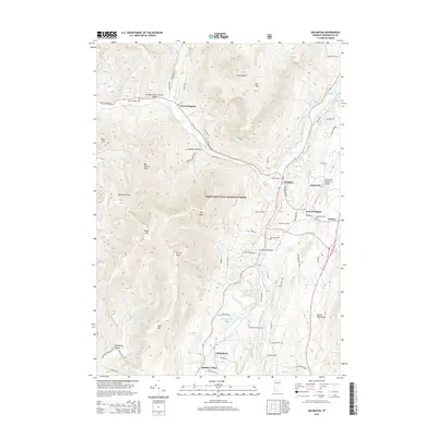
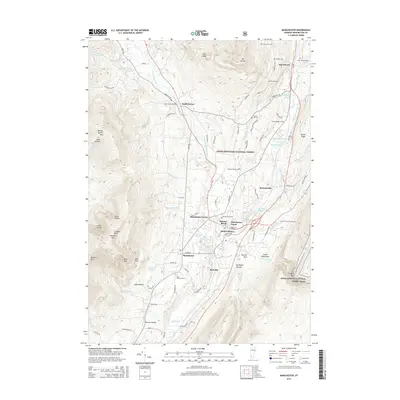
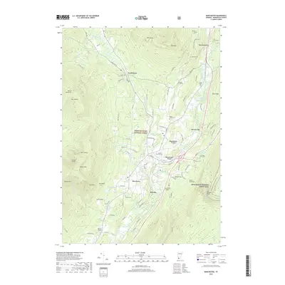
Editions of this 1968 Manchester Map
4 editions found
Historical Maps of Manchester Through Time
62 maps found
1894 Equinox
Bennington County, VT

1896 Equinox
Bennington County, VT
1898 Bennington
Bennington County, VT
1900 Equinox
Bennington County, VT
1954 Bennington
Bennington County, VT
1954 Bennington
Bennington County, VT
1954 Woodford
Bennington County, VT
1967 Arlington
Bennington County, VT
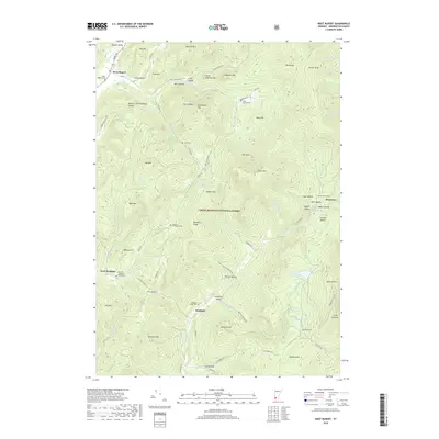
1967 West Rupert
Bennington County, VT

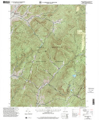
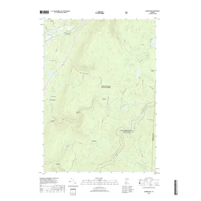
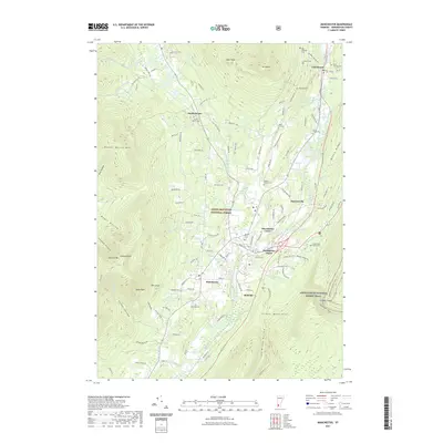
1968 Manchester
Bennington County, VT

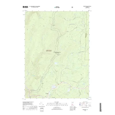
1968 Sunderland
Bennington County, VT
1986 Peru
Bennington County, VT
1987 Readsboro
Bennington County, VT
1995 West Rupert
Bennington County, VT
1997 Arlington
Bennington County, VT
1997 Bennington
Bennington County, VT

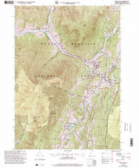
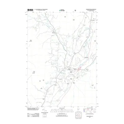
1997 Manchester
Bennington County, VT
1997 Peru
Bennington County, VT
1997 Readsboro
Bennington County, VT

1997 Sunderland
Bennington County, VT
1997 Woodford
Bennington County, VT
2012 Arlington
Bennington County, VT
2012 Bennington
Bennington County, VT
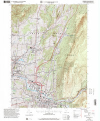
2012 Manchester
Bennington County, VT
2012 Peru
Bennington County, VT
2012 Readsboro
Bennington County, VT
2012 Sunderland
Bennington County, VT
2012 West Rupert
Bennington County, VT
2012 Woodford
Bennington County, VT
2015 Arlington
Bennington County, VT
2015 Bennington
Bennington County, VT
2015 Manchester
Bennington County, VT
2015 Peru
Bennington County, VT
2015 Readsboro
Bennington County, VT
2015 Sunderland
Bennington County, VT
2015 West Rupert
Bennington County, VT
2015 Woodford
Bennington County, VT
2018 Arlington
Bennington County, VT
2018 Bennington
Bennington County, VT
2018 Manchester
Bennington County, VT
2018 Peru
Bennington County, VT
2018 Readsboro
Bennington County, VT
2018 Sunderland
Bennington County, VT
2018 West Rupert
Bennington County, VT
2018 Woodford
Bennington County, VT
2021 Arlington
Bennington County, VT
2021 Bennington
Bennington County, VT
2021 Manchester
Bennington County, VT
2021 Peru
Bennington County, VT
2021 Readsboro
Bennington County, VT
2021 Sunderland
Bennington County, VT
2021 West Rupert
Bennington County, VT

2021 Woodford
Bennington County, VT
2023 Bennington
Bennington County, VT
2024 Arlington
Bennington County, VT
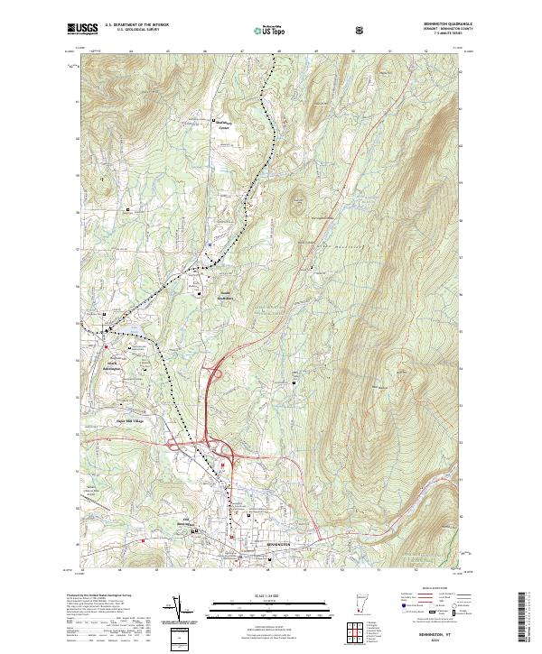
2024 Bennington
Bennington County, VT
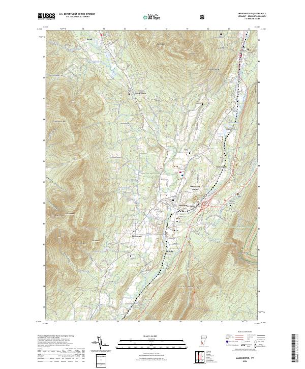
2024 Manchester
Bennington County, VT
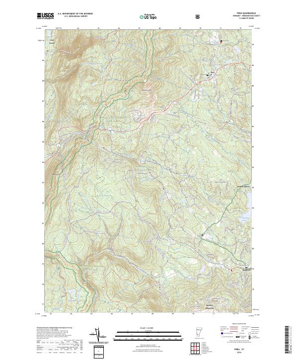
2024 Peru
Bennington County, VT
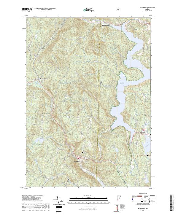
2024 Readsboro
Bennington County, VT
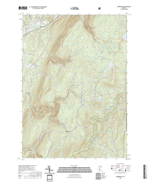
2024 Sunderland
Bennington County, VT
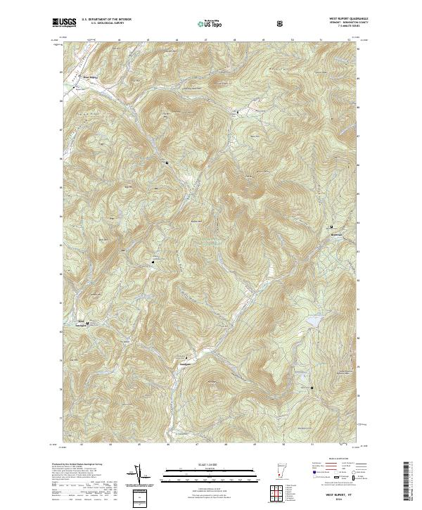
2024 West Rupert
Bennington County, VT
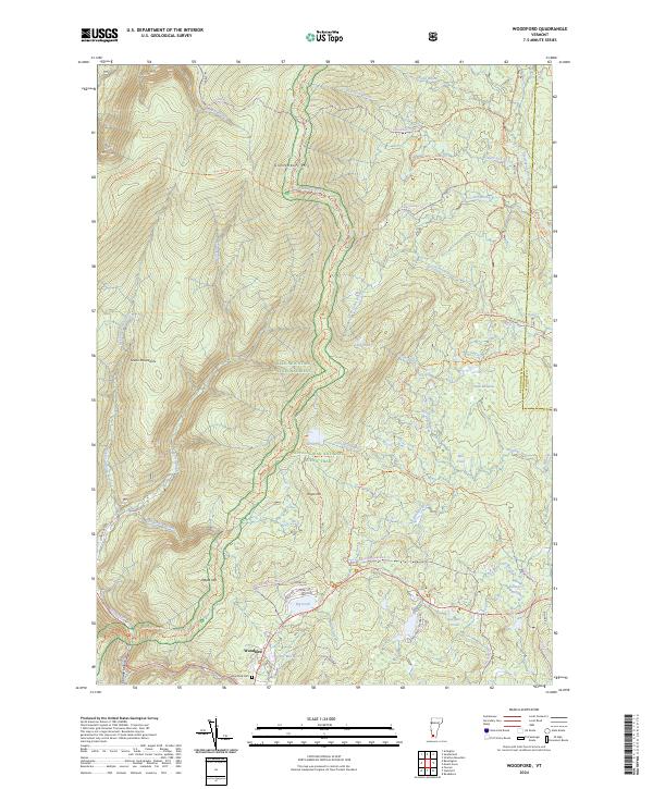
2024 Woodford
Bennington County, VT