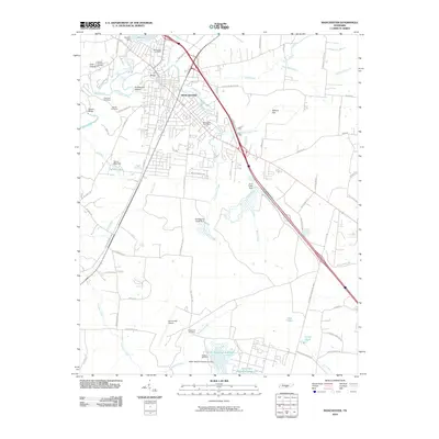
2010 Map of Manchester
USGS Topo · Published 2010About this map
The Duck River and its tributary, the Little Duck River, converge in the heart of Manchester, shaping the town's geography and history. This 2010 survey details the expansion of the community, where traditional landmarks like the Jail Bridge and the Manchester Post Office stand alongside a complex network of reservoirs. To the south, the AEDC Retention Reservoir and its companion, the Secondary Retention Reservoir, reflect the footprint of the nearby Arnold Engineering Development Center, supported by the Arnold AFS Airport.
Find a feature on this map
81 named features on this map. Tap any name to fly to it.
Don’t see what you’re looking for? This feature index may not catch every label — zoom into the map to look around manually.
Map Details
Editions of this 2010 Manchester Map
This is the sole edition of this map. No revisions or reprints were ever made.
Other maps of this area

1893 · Mc Minnville
USGS Topo · 1:125,000

1895 · Mc Minnville
USGS Topo · 1:125,000

1895 · Sewanee
USGS Topo · 1:125,000

1913 · Hollow Springs
USGS Topo · 1:62,500

1936 · Ovoca
USGS Topo · 1:24,000

1936 · Alto
USGS Topo · 1:24,000

1936 · Fredonia
USGS Topo · 1:24,000

1936 · Manchester
USGS Topo · 1:24,000

1936 · Noah
USGS Topo · 1:24,000

1936 · Morrison
USGS Topo · 1:24,000