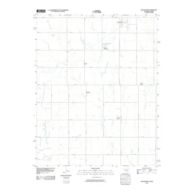
2010 Map of Manchester
USGS Topo · Published 2010About this map
Manchester sits at the northern edge of the Oklahoma-Kansas border, serving as a focal point for this rural agricultural landscape in Grant County. The town is oriented along the path of Oklahoma State Hwy 132, which bisects a grid of section roads. The terrain is defined by the winding paths of Sand Creek and Cooper Creek, which feed into local water management features such as the Oknoname 053001 Reservoir.
Find a feature on this map
26 named features on this map. Tap any name to fly to it.
Don’t see what you’re looking for? This feature index may not catch every label — zoom into the map to look around manually.
Map Details
Editions of this 2010 Manchester Map
This is the sole edition of this map. No revisions or reprints were ever made.
Other maps of this area

1889 · Anthony
USGS Topo · 1:125,000

1889 · Caldwell
USGS Topo · 1:125,000

1891 · Anthony
USGS Topo · 1:125,000

1893 · Caldwell
USGS Topo · 1:125,000

1897 · Caldwell
USGS Topo · 1:125,000

1955 · Wichita
USGS Topo · 1:250,000

1955 · Enid
USGS Topo · 1:250,000

1955 · Woodward
USGS Topo · 1:250,000

1955 · Pratt
USGS Topo · 1:250,000

1958 · Enid
USGS Topo · 1:250,000