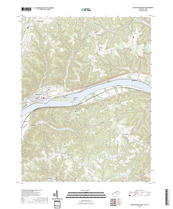
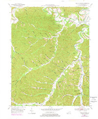
2022 Map of Manchester Islands
USGS Topo · Published 2022About this map
The Ohio River carves a deep valley through this borderland, where the Adams Co Lewis Co line follows the water between Ohio and Kentucky. In the northwestern corner, the town of Manchester serves as a focal point, its grid of streets including W Front St and E 2nd St reaching toward the riverbank. Just offshore, Manchester Island Number 1 and Manchester Island Number 2 break the current, marking a significant navigation point in the river's course. Local history is deeply etched into the landscape via numerous family and community burial grounds, such as the Manchester Founders Cem and the Odd Fellows Cem near the river, as well as the Quinn Chapel Cem and Fearis Cem tucked into the interior hills. The terrain is defined by sharp ridges like Chalk Ridge and hollows such as Hildebrand Hollow, reflecting the traditional upland settlement patterns of the region.
Find a feature on this map
99 named features on this map. Tap any name to fly to it.
Don’t see what you’re looking for? This feature index may not catch every label — zoom into the map to look around manually.
Map Details
Editions of this 2022 Manchester Islands Map
This is the sole edition of this map. No revisions or reprints were ever made.
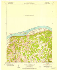
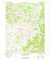
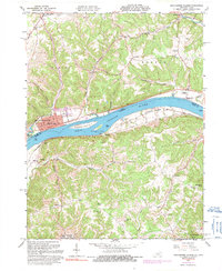
Historical Maps of Trinity Through Time
14 maps found
1929 Springdale
Lewis County, KY

1935 Springdale
Lewis County, KY
1949 Charters
Lewis County, KY
1950 Charters
Lewis County, KY
1950 Head of Grassy
Lewis County, KY

1951 Stricklett
Lewis County, KY
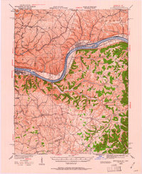
1952 Manchester Islands
Lewis County, KY
1953 Tollesboro
Lewis County, KY
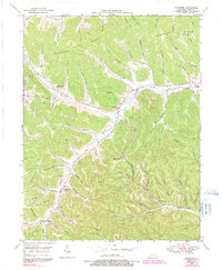
1961 Manchester Islands
Lewis County, KY
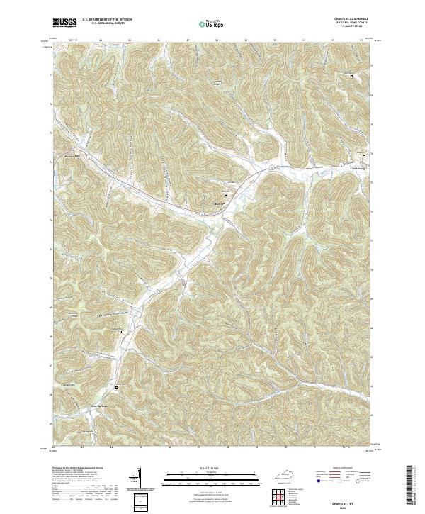
2022 Charters
Lewis County, KY
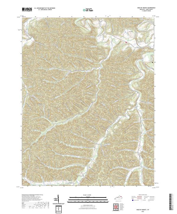
2022 Head of Grassy
Lewis County, KY
2022 Manchester Islands
Lewis County, KY
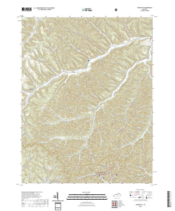
2022 Stricklett
Lewis County, KY
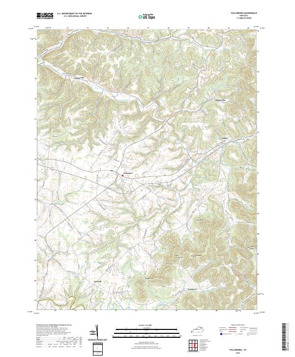
2022 Tollesboro
Lewis County, KY