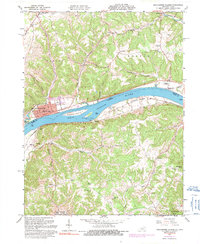
1961 Map of Manchester Islands
USGS Topo · Published 1991About this map
Manchester stands prominently on the northern bank of the Ohio River, serving as a focal point for this river-and-rail corridor. The Chesapeake and Ohio railroad tracks parallel the southern bank through Trinity, where the Trinity Sch once served the local community. Across the water, the landscape is defined by the significant mid-river landforms of Manchester Island No 1 and Manchester Island No 2, which split the river's flow.
Find a feature on this map
47 named features on this map. Tap any name to fly to it.
Don’t see what you’re looking for? This feature index may not catch every label — zoom into the map to look around manually.
Map Details
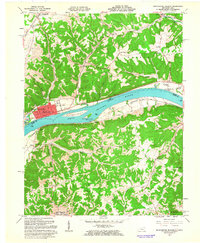
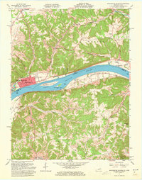
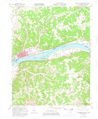
Editions of this 1961 Manchester Islands Map
4 editions found
Other maps of this area

1916 · Peebles
USGS Topo · 1:62,500

1918 · Peebles
USGS Topo · 1:62,500

1918 · Seaman
USGS Topo · 1:62,500

1919 · Vanceburg
USGS Topo · 1:62,500

1929 · Springdale
USGS Topo · 1:48,000

1935 · Springdale
USGS Topo · 1:62,500

1949 · Vanceburg
USGS Topo · 1:62,500

1949 · Concord
USGS Topo · 1:24,000

1949 · Charters
USGS Topo · 1:24,000

1950 · Charters
USGS Topo · 1:24,000