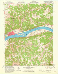
1961 Map of Manchester Islands
USGS Topo · Published 1973About this map
The Ohio River acts as a dividing line and a central artery for this border region between Ohio and Kentucky, shown here in the early 1960s. On the northern bank, the grid of Manchester serves as the primary hub, where local industries like the Sandpit operated alongside the Chesapeake and Ohio railroad. Across the water, the Kentucky side presents a more dispersed settlement pattern, with small communities like Trinity and Fearisville connected by winding roads through the hills of Chalk Ridge. This era captures the river landscape before modern alterations, featuring both Manchester Island No 1 and Manchester Island No 2 as prominent mid-stream landmarks. Local life is anchored by country churches and burial grounds, such as Quinn Chapel and the Fenton Cem, which provide valuable touchpoints for genealogists tracing family roots in both Adams and Lewis Counties.
Find a feature on this map
43 named features on this map. Tap any name to fly to it.
Don’t see what you’re looking for? This feature index may not catch every label — zoom into the map to look around manually.
Map Details
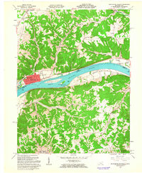
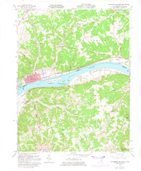
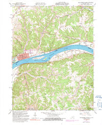
Editions of this 1961 Manchester Islands Map
4 editions found
Other maps of this area

1916 · Peebles
USGS Topo · 1:62,500

1918 · Peebles
USGS Topo · 1:62,500

1918 · Seaman
USGS Topo · 1:62,500

1919 · Vanceburg
USGS Topo · 1:62,500

1929 · Springdale
USGS Topo · 1:48,000

1935 · Springdale
USGS Topo · 1:62,500

1949 · Vanceburg
USGS Topo · 1:62,500

1949 · Concord
USGS Topo · 1:24,000

1949 · Charters
USGS Topo · 1:24,000

1950 · Charters
USGS Topo · 1:24,000