1929 Map of Springdale
USGS Topo · Published 1961About this map
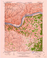
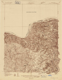
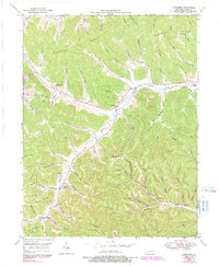
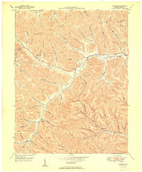
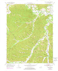
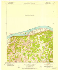
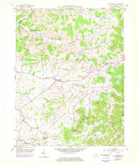
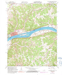
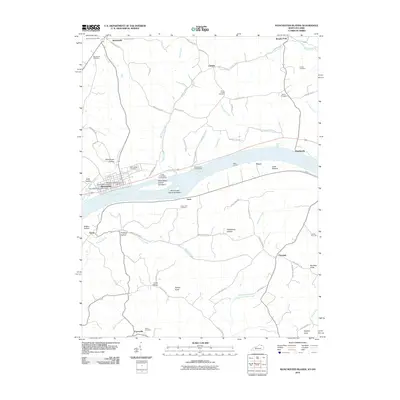
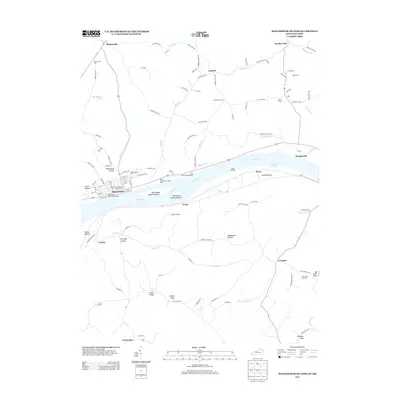
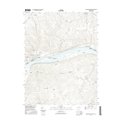
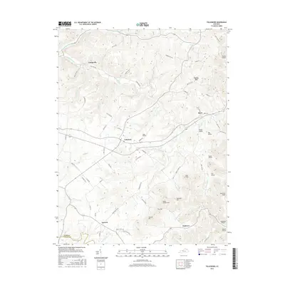
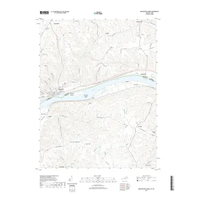
Maysville and Manchester anchor this late 1920s riverine landscape, where the Ohio River serves as both a boundary and a central artery. The mapping reveals a dense network of upland agriculture and rural education across Adams and Lewis Counties, evidenced by the high concentration of one-room schoolhouses like Hamilton School, Roush School, and Scott School. In Kentucky, the topography rises sharply from the riverbanks toward Eskalapia Mountain and Pine Knob, creating a complex terrain of hollows such as Owl Hollow and Happy Hollow. The Chesapeake and Ohio railroad follows the northern bank, connecting river towns like Wrightsville and Bradysville. Further south, the community around Tollesboro and Poplar Grove is defined by small churches and family-named landmarks including Stone Lick Ch and Canaan Ch, reflecting the deep-rooted settlement patterns of the era.
Find a feature on this map
122 named features on this map. Tap any name to fly to it.
Don’t see what you’re looking for? This feature index may not catch every label — zoom into the map to look around manually.
Map Details
Editions of this 1929 Springdale Map
2 editions found
Historical Maps of Maysville Through Time
34 maps found
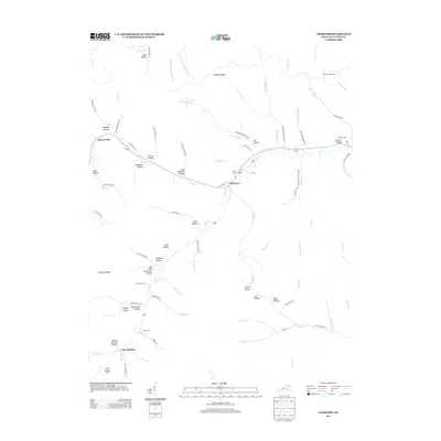
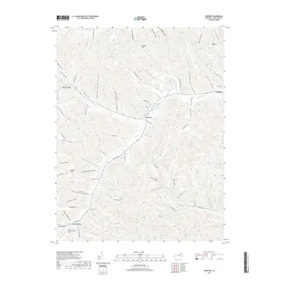
1929 Springdale
Lewis County, KY

1935 Springdale
Lewis County, KY
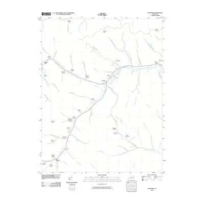
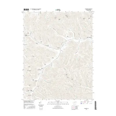
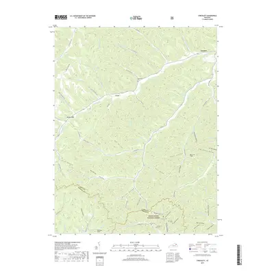
1949 Charters
Lewis County, KY
1950 Charters
Lewis County, KY
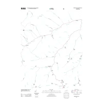
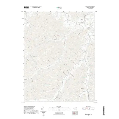
1950 Head of Grassy
Lewis County, KY

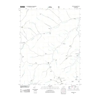
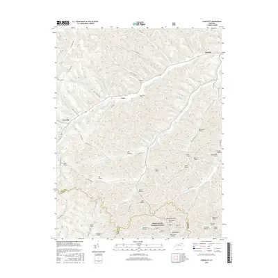
1951 Stricklett
Lewis County, KY
1952 Manchester Islands
Lewis County, KY
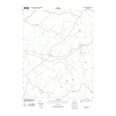
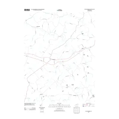
1953 Tollesboro
Lewis County, KY
1961 Manchester Islands
Lewis County, KY
2010 Charters
Lewis County, KY

2010 Head of Grassy
Lewis County, KY
2010 Manchester Islands
Lewis County, KY
2010 Tollesboro
Lewis County, KY
2011 Stricklett
Lewis County, KY
2013 Charters
Lewis County, KY

2013 Head of Grassy
Lewis County, KY
2013 Manchester Islands
Lewis County, KY
2013 Stricklett
Lewis County, KY
2013 Tollesboro
Lewis County, KY
2016 Charters
Lewis County, KY

2016 Head of Grassy
Lewis County, KY
2016 Manchester Islands
Lewis County, KY
2016 Stricklett
Lewis County, KY
2016 Tollesboro
Lewis County, KY
2019 Charters
Lewis County, KY
2019 Head of Grassy
Lewis County, KY
2019 Manchester Islands
Lewis County, KY
2019 Stricklett
Lewis County, KY
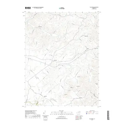
2019 Tollesboro
Lewis County, KY
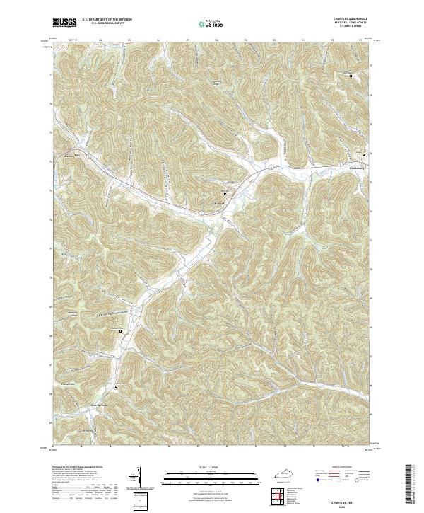
2022 Charters
Lewis County, KY
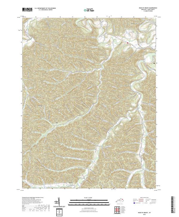
2022 Head of Grassy
Lewis County, KY
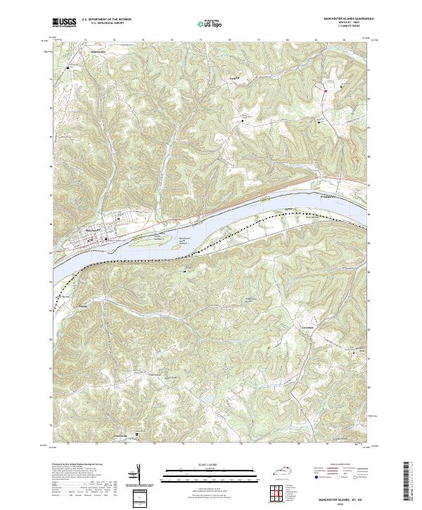
2022 Manchester Islands
Lewis County, KY
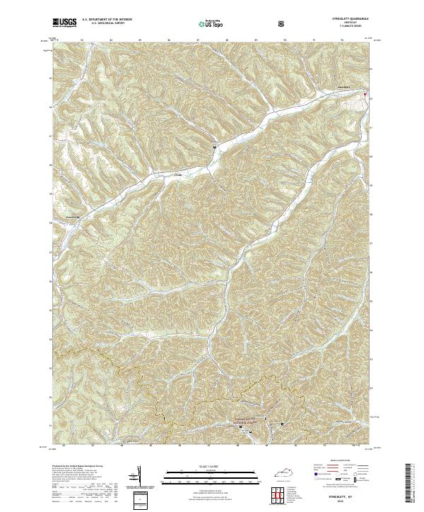
2022 Stricklett
Lewis County, KY
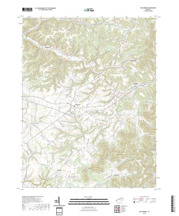
2022 Tollesboro
Lewis County, KY