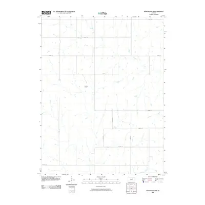
2009 Map of Manchester NW
USGS Topo · Published 2009About this map
West Chapman Creek and its many winding tributaries, including Coal Creek and Badger Creek, define this rural section of Ottawa County. The landscape is organized by a precise grid of county roads with evocative names like Treaty Rd, Quartz Rd, and Nugget Rd, reflecting the systematic agricultural development of the Kansas plains.
Find a feature on this map
18 named features on this map. Tap any name to fly to it.
Don’t see what you’re looking for? This feature index may not catch every label — zoom into the map to look around manually.
Map Details
Editions of this 2009 Manchester NW Map
This is the sole edition of this map. No revisions or reprints were ever made.
Other maps of this area

1891 · Clay Center
USGS Topo · 1:125,000

1892 · Minneapolis
USGS Topo · 1:125,000

1955 · Manhattan
USGS Topo · 1:250,000

1956 · Manhattan
USGS Topo · 1:250,000

1957 · Manhattan
USGS Topo · 1:250,000

1964 · Lamar
USGS Topo · 1:24,000

1964 · Idana
USGS Topo · 1:24,000

1964 · Miltonvale
USGS Topo · 1:24,000
1965 · Manchester NW
USGS Topo · 1:24,000
1965 · Vine Creek
USGS Topo · 1:24,000