
1941 Map of Manchester
USGS Topo · Published 1941About this map
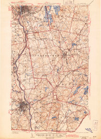
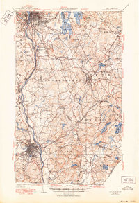
Massabesic Lake and the winding Merrimack River anchor this mid-century topographic portrait of southern New Hampshire’s industrial and residential heart. The urban centers of Manchester and Nashua are shown at a pivotal moment of growth, connected by the extensive network of the Boston and Maine Railroad. Between these cities, the landscape is dotted with smaller settlements like Windham Depot and Reeds Ferry, reflecting an era when rail stops and river crossings still defined local geography.
Find a feature on this map
110 named features on this map. Tap any name to fly to it.
Don’t see what you’re looking for? This feature index may not catch every label — zoom into the map to look around manually.
Map Details
Editions of this 1941 Manchester Map
3 editions found
Other maps of this area

1886 · Lawrence
USGS Topo · 1:62,500

1886 · Lowell
USGS Topo · 1:62,500

1888 · Haverhill
USGS Topo · 1:62,500

1888 · Lawrence
USGS Topo · 1:62,500

1890 · Haverhill
USGS Topo · 1:62,500

1893 · Lowell
USGS Topo · 1:62,500

1893 · Lawrence
USGS Topo · 1:62,500

1893 · Haverhill
USGS Topo · 1:62,500

1893 · Groton
USGS Topo · 1:62,500

1905 · Manchester
USGS Topo · 1:62,500