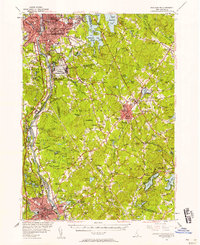
1953 Map of Manchester
USGS Topo · Published 1958About this map
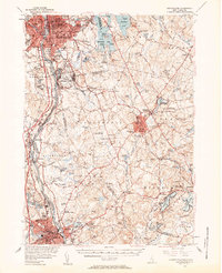
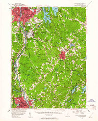
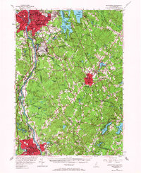
Grenier Air Force Base dominates the center of this mid-century landscape, illustrating the military's significant footprint between the industrial hubs of Manchester and Nashua. The Merrimack River serves as the primary corridor for development, flanked by the Daniel Webster Highway and the Boston and Maine railroad line. While the urban centers show dense street grids, the surrounding towns of Londonderry, Derry, and Windham retain their rural character, dotted with family-named landmarks like Moose Hill and Bell Hill. Local institutions are well represented, from the sprawling campus of Pinkerton Academy to the religious grounds of Our Lady of Mercy Novitiate. Further east, the recreational draw of the lakes is evident around Massabesic Lake and Canobie Lake, the latter already established as a destination for its leisure grounds and natural scenery.
Find a feature on this map
144 named features on this map. Tap any name to fly to it.
Don’t see what you’re looking for? This feature index may not catch every label — zoom into the map to look around manually.
Map Details
Editions of this 1953 Manchester Map
4 editions found
Other maps of this area

1886 · Lawrence
USGS Topo · 1:62,500

1886 · Lowell
USGS Topo · 1:62,500

1888 · Haverhill
USGS Topo · 1:62,500

1888 · Lawrence
USGS Topo · 1:62,500

1890 · Haverhill
USGS Topo · 1:62,500

1893 · Lowell
USGS Topo · 1:62,500

1893 · Lawrence
USGS Topo · 1:62,500

1893 · Haverhill
USGS Topo · 1:62,500

1893 · Groton
USGS Topo · 1:62,500

1905 · Manchester
USGS Topo · 1:62,500