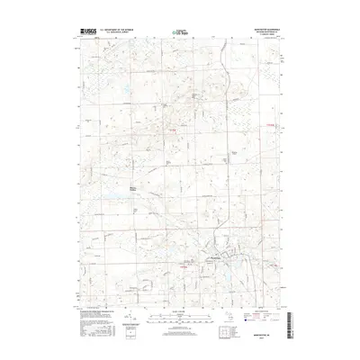
2017 Map of Manchester
USGS Topo · Published 2017About this map
The River Raisin winds through this portion of Washtenaw County, anchoring the village of Manchester and the settlement of Sharon Hollow. The landscape is defined by the glacial topography of the Sharon Short Hills to the north, with numerous small water bodies like Fisch Lake and the Mill Pond scattered among the sections. This map provides an essential record for genealogists, as it identifies several local burial grounds including the Saint Mary's Catholic Cem, Oak Grove Cem, and Sharon Lutheran Cem. The road network follows a dense grid of family-named routes such as Noggles Rd and Easudes Rd, reflecting the deep agricultural roots of the area. Notable landmarks like the Rossettie Airport and the junction at Rowes Corners highlight the more modern infrastructure layered atop these historic township boundaries.
Find a feature on this map
99 named features on this map. Tap any name to fly to it.
Don’t see what you’re looking for? This feature index may not catch every label — zoom into the map to look around manually.
Map Details
Editions of this 2017 Manchester Map
This is the sole edition of this map. No revisions or reprints were ever made.
Other maps of this area

1902 · Dexter
USGS Topo · 1:62,500

1904 · Ann Arbor
USGS Topo · 1:125,000

1906 · Dexter
USGS Topo · 1:62,500

1906 · Saline
USGS Topo · 1:62,500

1908 · Ann Arbor
USGS Topo · 1:125,000

1919 · Stockbridge
USGS Topo · 1:62,500

1922 · Stockbridge
USGS Topo · 1:62,500

1942 · Stockbridge
USGS Topo · 1:62,500

1948 · Manchester
USGS Topo · 1:62,500

1949 · Manchester
USGS Topo · 1:62,500
Featured Places
- Manchester Township, MI
- Sylvan Township, MI
- Manchester, Manchester Township
- Sharon Township, MI
- Bridgewater Township, MI