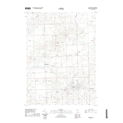
2019 Map of Manchester
USGS Topo · Published 2019About this map
The Manchester village center and surrounding township of Washtenaw County are documented here as they appeared in 2019, defined by the winding course of the River Raisin and a series of historic rural burial grounds. The landscape transitions from the built-up streets of Manchester, where Oak Grove Cem and Saint Marys Catholic Cem are located, into the rolling terrain of Sharon Short Hills. This area is particularly dense with genealogical sites, including the Sharon Township Cem, Sharon Hollow Cem, and the remote Raymond Cem near Mill Cr.
Find a feature on this map
104 named features on this map. Tap any name to fly to it.
Don’t see what you’re looking for? This feature index may not catch every label — zoom into the map to look around manually.
Map Details
Editions of this 2019 Manchester Map
This is the sole edition of this map. No revisions or reprints were ever made.
Other maps of this area

1902 · Dexter
USGS Topo · 1:62,500

1904 · Ann Arbor
USGS Topo · 1:125,000

1906 · Dexter
USGS Topo · 1:62,500

1906 · Saline
USGS Topo · 1:62,500

1908 · Ann Arbor
USGS Topo · 1:125,000

1919 · Stockbridge
USGS Topo · 1:62,500

1922 · Stockbridge
USGS Topo · 1:62,500

1942 · Stockbridge
USGS Topo · 1:62,500

1948 · Manchester
USGS Topo · 1:62,500

1949 · Manchester
USGS Topo · 1:62,500
Featured Places
- Manchester Township, MI
- Sylvan Township, MI
- Manchester, Manchester Township
- Sharon Township, MI
- Bridgewater Township, MI