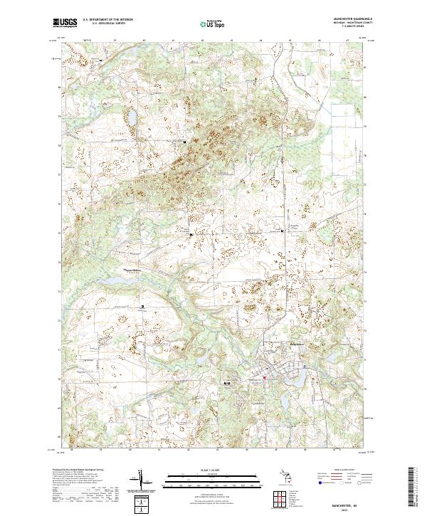
2023 Map of Manchester
USGS Topo · Published 2023About this map
Manchester sits at a critical junction of the River Raisin, where the watercourse snakes through the southern half of the quadrangle near the Saint Mary's Catholic Cem and Oak Grove Cem. The landscape to the north is defined by the Sharon-Short Hills, a region of complex glacial topography dotted with small water bodies like Tisch Lake and Mill Pond. The small settlement of Sharon Hollow remains a distinct point of interest along the river, illustrating the historical pattern of development tied to Michigan's inland waterways. Numerous burial sites, including the Sharon Hollow Cem and Sharon Lutheran Cem, are distributed throughout the township, providing essential coordinates for genealogical research. Transportation remains anchored by MI State Road 52, which serves as the primary north-south corridor connecting the village center to the rural uplands.
Find a feature on this map
140 named features on this map. Tap any name to fly to it.
Don’t see what you’re looking for? This feature index may not catch every label — zoom into the map to look around manually.
Map Details
Editions of this 2023 Manchester Map
This is the sole edition of this map. No revisions or reprints were ever made.
Other maps of this area

1902 · Dexter
USGS Topo · 1:62,500

1904 · Ann Arbor
USGS Topo · 1:125,000

1906 · Dexter
USGS Topo · 1:62,500

1906 · Saline
USGS Topo · 1:62,500

1908 · Ann Arbor
USGS Topo · 1:125,000

1919 · Stockbridge
USGS Topo · 1:62,500

1922 · Stockbridge
USGS Topo · 1:62,500

1942 · Stockbridge
USGS Topo · 1:62,500

1948 · Manchester
USGS Topo · 1:62,500

1949 · Manchester
USGS Topo · 1:62,500
Featured Places
- Manchester Township, MI
- Sylvan Township, MI
- Manchester, Manchester Township
- Sharon Township, MI
- Bridgewater Township, MI