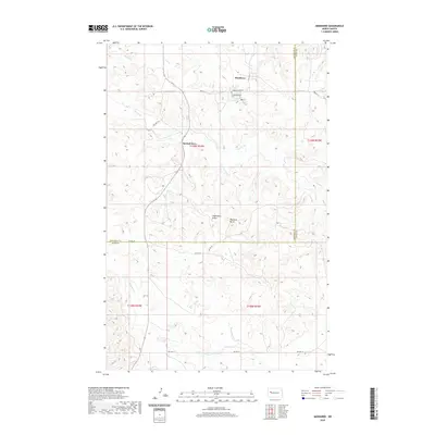
2020 Map of Mandaree
USGS Topo · Published 2020About this map
Mandaree serves as a primary settlement in this stretch of western North Dakota, situated along Turnkey Ridge Rd and Bureau of Indian Affairs routes. The landscape is defined by its dramatic relief, where deep drainages like Squaw Cr and Spotted Horn Cr carve through the high plains. Significant high points including Eagle Nest Butte and Phaelens Butte provide distinct landmarks for navigation and local history.
Find a feature on this map
20 named features on this map. Tap any name to fly to it.
Don’t see what you’re looking for? This feature index may not catch every label — zoom into the map to look around manually.
Map Details
Editions of this 2020 Mandaree Map
This is the sole edition of this map. No revisions or reprints were ever made.
Other maps of this area

1953 · Watford City
USGS Topo · 1:250,000

1957 · Watford City
USGS Topo · 1:250,000

1965 · Blue Buttes SE
USGS Topo · 1:24,000

1967 · Watford City
USGS Topo · 1:250,000

1967 · Sanish SE
USGS Topo · 1:24,000

1967 · Sanish SW
USGS Topo · 1:24,000

1970 · Mandaree
USGS Topo · 1:24,000

1970 · Lost Bridge
USGS Topo · 1:24,000

1970 · Figure 4 Ranch
USGS Topo · 1:24,000

1970 · Mandaree SW
USGS Topo · 1:24,000