Loading...
Loading map...2024 Map of Mandaree
USGS Topo · Published 2024About this map
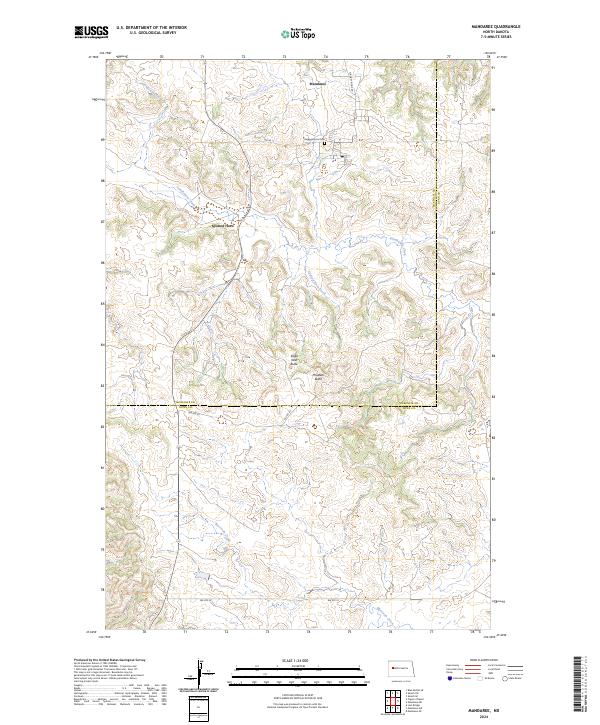
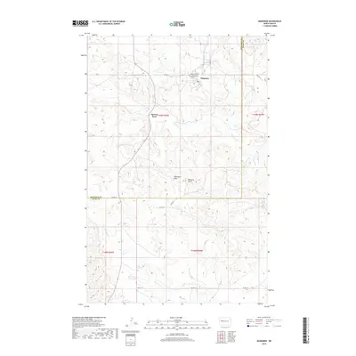
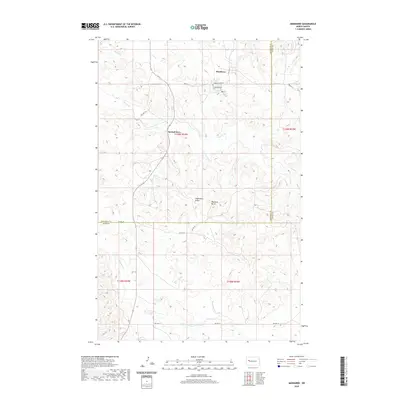
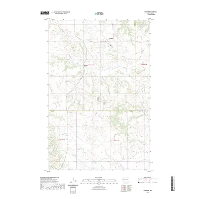
Mandaree serves as a primary settlement hub in this portion of the Fort Berthold Indian Reservation, situated amidst the distinct drainage patterns of the Missouri River plateau. The landscape is defined by its high ground and dissecting waterways, notably Sakakawea Creek and Spotted Horn Creek. The topography is punctuated by significant landmarks such as Eagle Nest Butte and Phaelens Butte, which rise above the surrounding terrain.
Find a feature on this map
19 named features on this map. Tap any name to fly to it.
Don’t see what you’re looking for? This feature index may not catch every label — zoom into the map to look around manually.
Map Details
Date Portrayed2024
Date Published2024
PublisherU.S. Geological Survey
Map TypeTopographic
Scale1:24,000
Physical Dimensions24 x 29 inches
Editions of this 2024 Mandaree Map
This is the sole edition of this map. No revisions or reprints were ever made.
Historical Maps of Spotted Horn Through Time
7 maps found
Featured Locations
Source Details
SourceU.S. Geological Survey
CopyrightPublic Domain